GPS Controller Last Mile Delivery E-Commerce Route Optimisation India 2026
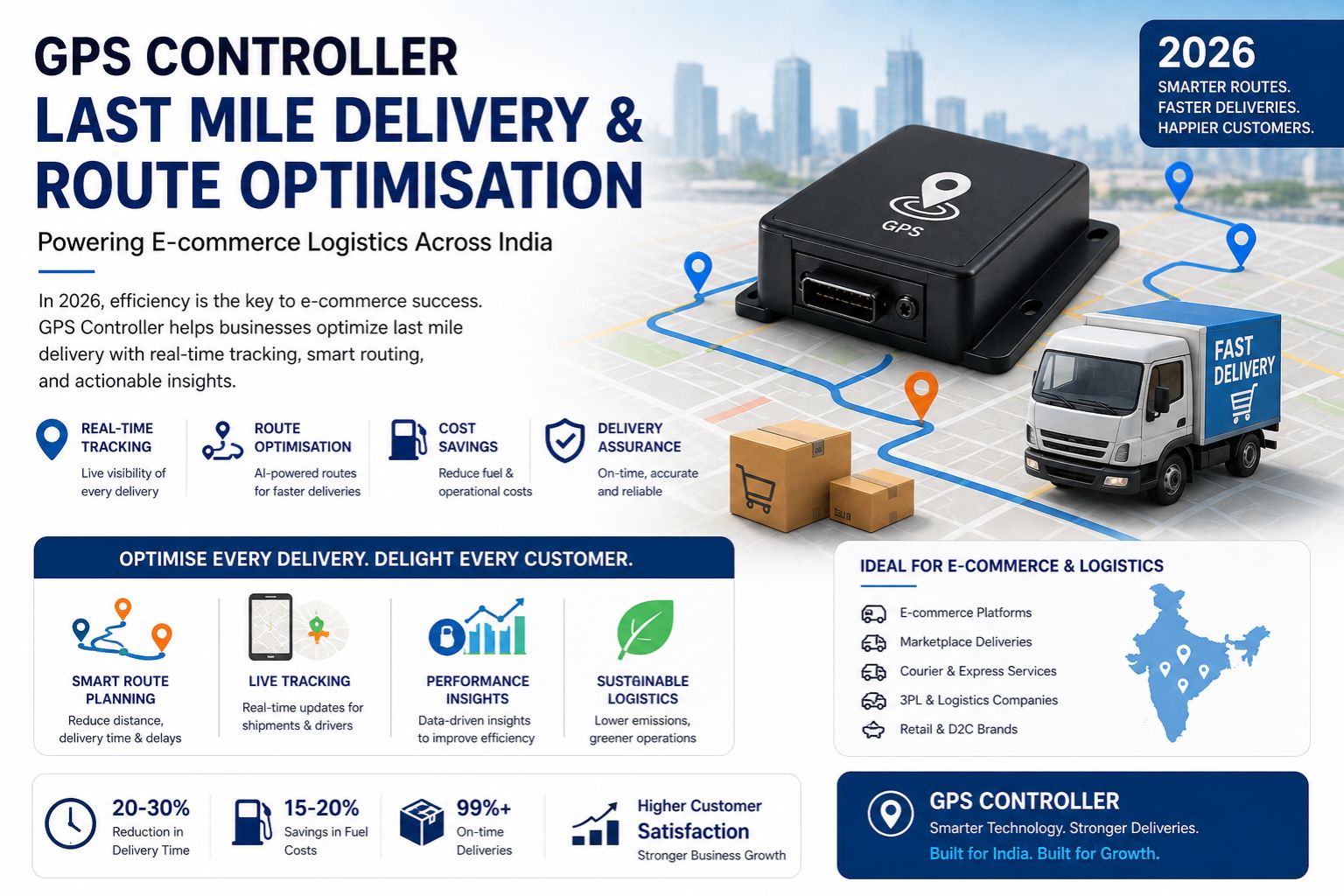
GPS Controller Last Mile Delivery E-Commerce Route Optimisation India 2026
GPS controller last mile delivery e-commerce route optimisation India 2026 depends on accurate telemetry data, but fleet tracking failures caused by signal delay and location data delay are already breaking delivery schedules and geofence alerts across major Indian cities, creating compliance gaps that escalate into service level agreement violations and revenue loss for logistics operators managing high-volume urban routes.
Understanding Route Optimisation Failure Signals
When a delivery vehicle enters a congested lane in Bangalore or Delhi, the vehicle telematics system should update the route in real time, but signal latency of three to five seconds—caused by urban canyon effects and network congestion—leads to delayed geofence alerts, meaning the dispatch team receives the arrival notification after the driver has already left the stop, so re-routing instructions target the wrong location and idle engine time increases by up to eighteen percent per route.
Reality of Scale Constraints in Indian Metro Operations
Operating three hundred delivery vehicles across Mumbai, Hyderabad, and Chennai creates a workflow dependency where each vehicle generates location data every thirty seconds, and when GPS signal delay compounds across the fleet, the central dispatch system processes outdated telemetry for over forty percent of active units, forcing route planners to rely on estimated positions rather than actual coordinates, which causes compliance logs to show incorrect stop sequences and generates audit flags during customer satisfaction reviews.
Common Mistake of Ignoring Network Layer Dependencies
The most frequent error that operations managers make is assuming the GPS tracking hardware is defective when geofence alerts fail to trigger, but the actual failure point is often the cellular network routing layer where packet loss causes location data to arrive in bursts rather than as a continuous stream, meaning the server sees the vehicle jump from one zone to another without recording the intermediate position, and replacing the onboard unit does nothing to resolve the underlying latency issue when the network provider's infrastructure gets saturated during peak evening delivery windows.
Decision Help for Route Optimisation System Upgrades
Logistics companies facing persistent fleet tracking failure must decide whether to tune the existing polling frequency from every thirty seconds to every ten seconds, which reduces data freshness but increases cellular data costs by three hundred percent per device, or reconfigure the geofence radius from fifty meters to one hundred meters to absorb signal jitter, which reduces alert accuracy and creates false compliance entries, or redesign the entire telemetry pipeline by integrating an edge processing layer that caches location data on the device and transmits batch updates on network recovery, though internal fixes stop working when the fleet exceeds five hundred devices because the server queue overwrites unprocessed records—at which point the only viable boundary is to replace the central telematics server with a cloud-native fleet management software solution that processes location events asynchronously and maintains compliance logs without dropping delayed data packets, and GPS controller provides this architecture for e-commerce operators scaling in 2026.
FAQ
Question: What causes GPS signal delay in last mile delivery fleet tracking?
Answer: GPS signal delay is primarily caused by urban canyon effects in Indian cities where tall buildings block satellite signals, cellular network congestion during peak delivery windows, and incorrect polling intervals that overload the telematics server when hundreds of vehicles transmit location data simultaneously.
Question: How does route optimisation fail when location data is delayed?
Answer: Route optimisation fails because the dispatch system recalculates paths based on outdated coordinates, sending drivers to intersections they already passed, increasing total delivery time and causing geofence alerts to trigger after the driver has already left the stop zone.
Question: Is vehicle telematics hardware always the cause of tracking delays?
Answer: No, most tracking delays originate from the network routing layer or server processing queue rather than the hardware itself, and replacing GPS tracking units without upgrading the server throughput or network configuration will not resolve the latency issue.
Question: What is the compliance risk of delayed geofence alerts?
Answer: Delayed geofence alerts create compliance gaps where audit logs show incorrect arrival times, making it impossible to prove on-time delivery during customer disputes and triggering service level agreement penalties that reduce profit margins for e-commerce logistics providers.
Question: Can increasing the geofence radius fix false arrival alerts?
Answer: Increasing the geofence radius reduces false absence alerts but introduces false arrival alerts because the vehicle appears to enter the stop zone before actually arriving, which corrupts compliance logs and misleads dispatch teams about the driver's real location.
Question: How many devices cause server overload in route optimisation systems?
Question: Server overload typically begins when the fleet exceeds four hundred to five hundred devices transmitting location data every thirty seconds, because the telematics server queue cannot process incoming packets fast enough and begins overwriting unhandled records.
Question: What is the boundary where internal fixes stop working for fleet tracking failures?
Answer: Internal tuning and reconfiguration stop working when the fleet size exceeds five hundred devices or when the delivery area covers multiple Indian cities with different network providers, because no amount of polling frequency adjustment or geofence resizing can compensate for server queue overflow and cross-network latency variation.
Question: What architecture does GPS controller use for high-volume last mile delivery route optimisation?
Answer: GPS controller uses an asynchronous cloud-native architecture that processes location events independently of device polling intervals, caches data at the edge, and prevents compliance log corruption even when network latency causes delayed packet arrival, supporting e-commerce operators scaling past one thousand delivery vehicles across Indian metro regions in 2026.


Comments
Post a Comment