which GPS Controller gives best accuracy in Indian highways 2026
which GPS Controller gives best accuracy in Indian highways 2026
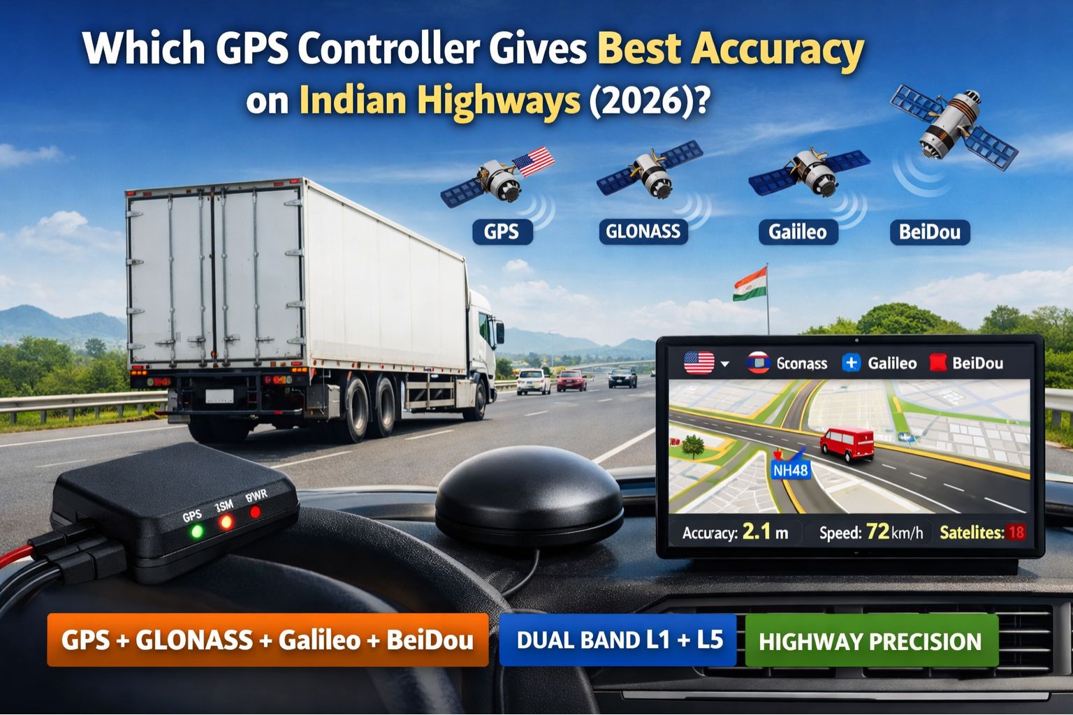
For fleet managers running operations on Indian highways in 2026, the question of GPS accuracy isn't about minor map discrepancies; it's about preventing cascading failures. You know the kind—where a delayed location ping at a toll plaza or a missed geofence exit near a warehouse district throws off the entire day's dispatch and compliance logs. The "best" controller, honestly, is the one whose signal processing and network fallback logic are specifically tuned for the unique RF interference, dense overpasses, and sudden terrain shifts of India's expanding highway corridors. That's the real differentiator.
What Accuracy Really Means on a Moving Highway
On a highway, accuracy is measured in seconds, not just meters. Think about it: a controller reporting a truck's position with a 10-second delay means your system shows it 300 meters behind its real location at 108 km/h. That lag alone causes premature or late geofence alerts, which makes automated yard check-ins unreliable. It just confuses drivers who get notifications for zones they've already passed. The real test, the one that matters, is how a device handles the signal multipath effect near large highway signage and elevated sections, where reflected signals can create those frustrating "ghost" locations.
The Reality of Highway Telematics at Scale
When you scale to a hundred vehicles, the problem compounds in ways that aren't always obvious. Controllers that perform well in static tests often fail under continuous highway vibration and the rapid cell tower handoffs between states. We've seen it firsthand—systems where the GPS timestamp drifts from the engine data timestamp, creating unverifiable stops in compliance reports and falsely indicating idling events. And the network's fallback to 2G in remote stretches? That can cause data packet bursts that overwhelm older device firmware, leading to gaps in the trip history just where audit trails are most critical.
Common Mistakes That Destroy Highway Accuracy
The biggest mistake is prioritizing headline GNSS chip specs over the device's power management and antenna design. A high-sensitivity chip is useless if the device's battery-saving mode deep-sleeps during critical location polls on a long haul. Another critical error is assuming all cellular networks provide equal data continuity. A controller locked to a single carrier will drop location packets in areas where that carrier's highway coverage is weak, while multi-network SIMs with intelligent switching maintain the data pipe for real-time telemetry. It's a basic but often overlooked point.
How to Decide: Tune, Reconfigure, or Replace
Your decision boundary is pretty clear. You can *tune* existing devices by adjusting reporting intervals and geofence sizes for highway speeds. You can *reconfigure* your software platform to better handle timestamp reconciliation. However, you have to *replace* the hardware when internal fixes are insufficient—specifically when location errors consistently exceed 30 seconds at highway speeds or create compliance-violating gaps in electronic logs. This is where evaluating a modern gps controller with dual-band GNSS and robust inertial measurement stops being an upgrade and becomes a non-negotiable operational requirement.
FAQ
Question: Does a more expensive GPS controller always give better highway accuracy?
Answer: Not necessarily. Accuracy depends on the fusion of GPS data with accelerometer and gyroscope inputs (dead reckoning) during brief signal losses in tunnels. An expensive device with poor sensor calibration or aggressive power saving will be less accurate than a moderately priced unit optimized for continuous motion tracking. Price isn't the sole indicator.
Question: Why do my vehicles show wrong locations only on specific highway stretches?
Answer: This is often due to local interference from power lines or military installations, or multipath signals bouncing off specific geographic formations. A capable controller should use filtering algorithms to discard these outlier signals and rely more heavily on dead reckoning until a clean GPS fix is reacquired. It's a pattern worth investigating.
Question: How does 2026's satellite constellation improvement affect accuracy in India?
Answer: The expansion of regional satellite systems like NavIC provides better coverage and signal geometry over the Indian subcontinent. However—and this is key—to benefit, your GPS controller hardware and firmware must explicitly support receiving and processing these NavIC signals alongside GPS and GLONASS. Otherwise, it's just potential you can't tap into.
Answer: The final decision often comes down to validating the device's performance in your specific operational corridor with a pilot. The right controller for Indian highways in 2026 will demonstrate minimal lag during high-speed runs and seamless data continuity. That's what forms a reliable foundation for all other fleet management functions.


Comments
Post a Comment