Multi-Constellation GNSS Tracker Failure in Indian Fleet Operations
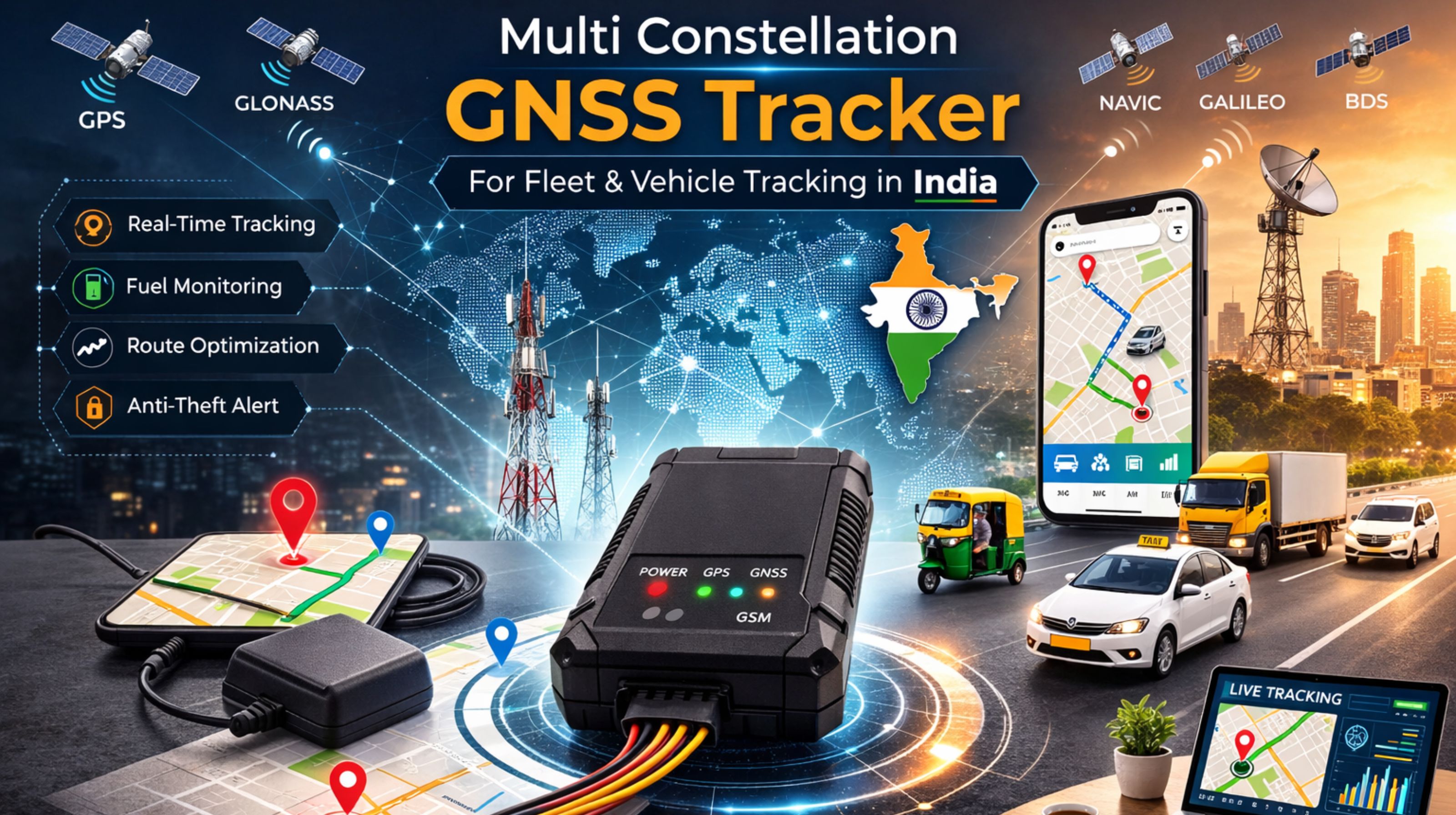
Multi-Constellation GNSS Tracker Failure in Indian Fleet Operations
When your multi-constellation GNSS tracker in India shows a vehicle as stationary for hours, but the driver's log shows movement, that's a real signal loss event. It's not just a map glitch. This kind of gap creates a direct audit mismatch for transport compliance, which is a serious problem.
What Multi-Constellation GNSS Failure Means for Your Fleet
In live tracking, failure means your device isn't getting a usable fix from GPS, GLONASS, Galileo, or BeiDou satellites. It's often due to urban canyons or industrial interference, not a lack of satellites overhead. The dashboard just shows the last known location, which completely masks the real-time data blackout that's happening.
The Reality of Signal Loss Under Indian Operating Conditions
At scale, with 50+ vehicles, you'll start to see a pattern: the same trucks report gaps in specific industrial zones or during afternoon monsoons. What people often miss is the device's power management. During weak signals, it can delay the next fix by minutes, causing real-time tracking to fall behind the actual position by kilometers.
Common Mistakes That Escalate GNSS Tracking Gaps
A major misunderstanding is blaming "poor satellite coverage" and just waiting it out. The real failure pattern is usually something else—like a firmware issue where the tracker prioritizes battery life over positional accuracy. Or it could be an antenna placement flaw that causes sustained signal jitter the software can't resolve.
Decision Help: When to Tune, Reconfigure, or Replace Your Tracker
The boundary is pretty clear. If the gaps are predictable (same locations, same times) and reconfiguring reporting intervals and constellation priorities doesn't fix them, then the hardware's RF sensitivity just isn't up to the job. Internal fixes stop here. If you keep going, you risk irretrievable route history and lost compliance evidence. That's the point where you really need to look at evaluating a more robust device platform, where the depth of a gps controller's configuration gets properly tested.
FAQ
q: What does multi-constellation mean on a GPS tracker?
a: It means the device can receive signals from multiple satellite networks—like GPS, GLONASS, and others—to improve the chance of getting a location fix. That's especially important in tough spots like cities.
q: Why does my GNSS tracker lose signal in urban areas in India?
a: Tall buildings create "urban canyons." They block and reflect satellite signals, which causes multipath errors. The receiver gets confused by delayed signal echoes. It's not usually a complete lack of satellites.
q: How does weather affect multi-constellation GNSS trackers?
a: Heavy monsoon rain can weaken satellite signals. But a bigger issue is the increased atmospheric interference, which introduces small timing errors. The device has to filter those out, and sometimes that causes a temporary loss of fix.
q: Can I fix GNSS signal loss by changing settings?
a: You can try tuning reporting intervals and which constellations to prioritize. But if the limitation is the hardware's antenna or receiver chipset, no software setting is going to give you a reliable fix in those consistent blackout zones.


Comments
Post a Comment