how US Israel electronic warfare GPS jamming affects civilian shipping
how US Israel electronic warfare GPS jamming affects civilian shipping
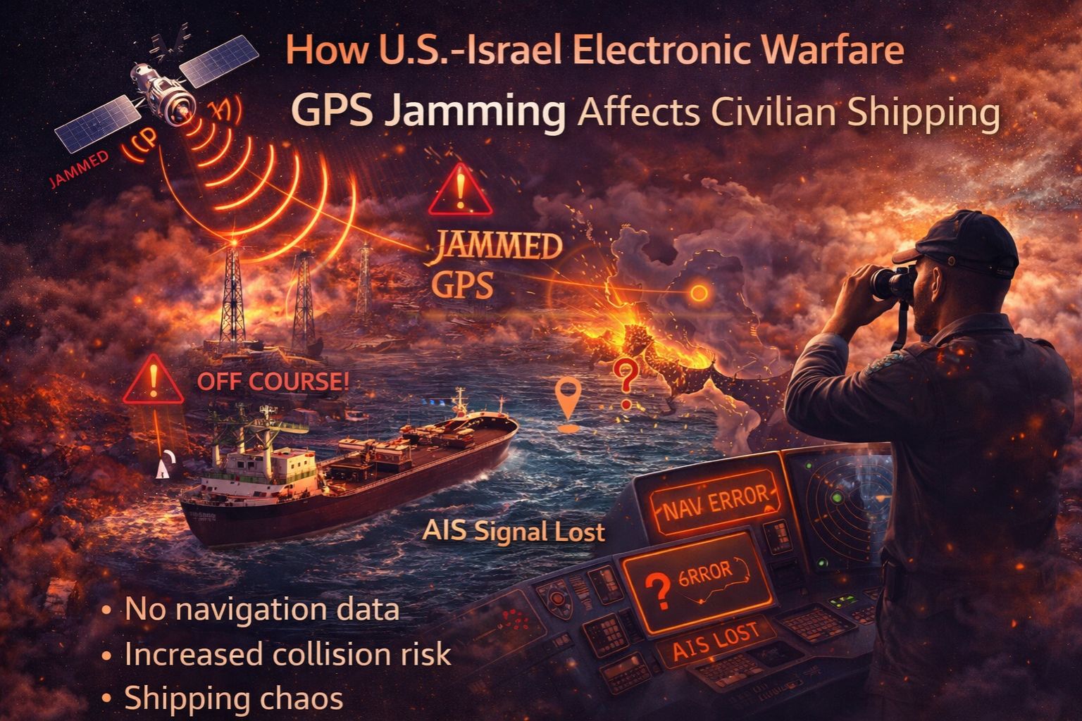
So when military electronic warfare systems kick in—like the ones used in US-Israel defense ops—their GPS jamming doesn't stay on the battlefield. It bleeds right into the shipping lanes. For a cargo ship's bridge team, this isn't some background static. It's an instant, gut-punch loss of your primary fix on the world. You're suddenly scrambling for backups like inertial nav or celestial, which... well, they drift. And that's the real problem: operational blindness. You might think you're fine, but you could be quietly drifting into another ship's path or towards a shoal.
Clarity: What GPS Jamming Means for a Ship's Bridge
In practice, jamming means your AIS screen freezes up or starts showing coordinates that are just wrong—like, ship-in-the-middle-of-a-city wrong. The ECDIS is screaming with alarms. We've seen reports from the Eastern Mediterranean where vessels' AIS placed them inland or had them jumping around erratically. It throws everyone off: nearby ships, port control, everyone. It basically attacks the core of how modern shipping sees itself, turning a coordinated system back into a bunch of isolated boats making their best guess.
Reality Check: Scale and Cascading Failures in Shipping Lanes
People don't always get the scale. A jamming event in a tight spot like the Strait of Hormuz isn't a one-ship problem. It risks a domino effect. Vessels lose accurate speed data, which messes up the voyage recorder—that's critical for figuring out what went wrong after an incident. Port arrivals become guesses, wrecking the precision timing of container terminals and their berth allocation software. And something that doesn't get enough attention: the VHF radio channels get swamped as bridge teams try to talk it out, which just increases the chance of a human mistake when the pressure's on.
Mistake: Assuming Jamming is Just a "Signal Issue" to Wait Out
The big, costly misunderstanding is treating this military-grade jamming like a bit of bad weather you can wait out. Captains or ops centers might hold off, thinking the GPS will just pop back online. That delay in switching to full manual procedures is dangerous. It gets worse if the crew isn't sharp on traditional nav—misreading a compass, not accounting for currents. There's a real compliance hole here too. Regulations demand a verified position. Sticking with a degraded GPS signal for too long can breach Safety Management System rules, opening up a world of liability if something goes wrong.
Decision Help: Tune, Isolate, or Redesign the Navigation Stack
So you're left with a few paths. You can try to *tune* things, maybe adding GLONASS or Galileo signals as a backup—though those can be jammed too. You can *isolate* the problem by installing a dedicated inertial unit and drilling crews on manual fixes. That's more resilient, but it's not cheap. The line gets crossed when the jamming isn't a blip; it's persistent and widespread, crippling your whole fleet's ability to meet schedules and safety codes. That's when you need a *redesign*. You're looking at rebuilding your navigation pipeline with hardened, multi-source positioning and maybe platforms that can actually spot and warn about spoofing as it happens.
FAQ
Question: Can civilian ships detect if their GPS is being jammed?
Answer: They can, but it's not always clear-cut. Modern receivers might show a weird signal integrity flag or a jump in the signal-to-noise data. For a real, definitive alert, you need dedicated monitoring systems that watch for abnormal power levels or inconsistencies across the satellite signals.
Question: Does jamming affect other ship systems besides navigation?
Answer: Oh, definitely. It can knock out satellite comms for email and weather, and mess with the precise timing signals that sync up the ship's internal networks. That delay can hit automated position alerts and even corrupt the data logs for engine and fuel systems.
Question: Are there specific regions where this risk is highest for shipping?
Answer: The risk spikes near active military zones or testing areas—think Eastern Mediterranean, Persian Gulf, the Black Sea, parts of the South China Sea. But the tricky part is, jamming effects can travel. They don't respect borders, so major trade routes hundreds of miles away can still feel the impact.
Question: What's the final decision factor for a fleet manager facing this?
Answer: It boils down to safety and compliance, every time. If jamming is leading to close calls, messed-up logs, or breaches of the ISM Code, then tweaking your current setup isn't enough. You've hit the boundary. You need a fundamental redesign for resilience in your positioning system. That's the point where bringing in a specialized partner for integrity checks, like gps controller, stops being an option and starts being a necessity.


Comments
Post a Comment