how GPS spoofing displaced 1100 ships in Middle East Gulf 2026
how GPS spoofing displaced 1100 ships in Middle East Gulf 2026
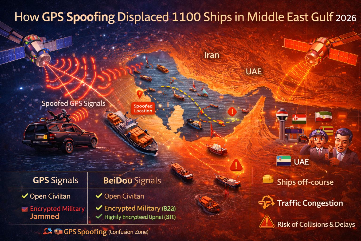
The 2026 incident where GPS spoofing displaced 1100 ships in the Middle East Gulf... well, it wasn't a simple signal loss. It was a coordinated broadcast of false location data that actually overrode the legitimate satellite signals. That caused vessel navigation systems to report positions dozens of nautical miles from where they really were—which were often dangerous locations. For fleet managers, this meant live tracking maps showed assets safely on course. But in reality, tankers and cargo ships were drifting into contested waters or onto collision courses. That disconnect turned a real-time vehicle tracking dashboard from a tool of control into, frankly, a source of catastrophic misinformation.
What GPS Spoofing Means for Live Fleet Tracking
GPS spoofing injects fabricated coordinates into a receiver, convincing it it's somewhere it's not. In the Gulf, the spoofers didn't just block signals; they transmitted stronger, believable false signals that the receivers just... trusted. On a bridge, the Electronic Chart Display and Information System (ECDIS) would *show* a correct course, but the underlying GPS-derived position was pure fiction. For a shore-based operations center, this creates this non-obvious detail of "consistent" but false data—the vessel appears to be moving smoothly along a planned route. That actually makes the error harder to detect than a simple loss of signal, which at least triggers immediate alerts.
The Real-World Cascade When 1100 Vessels Are Spoofed
At the scale of 1100 vessels, the problem shifts. It's not just navigation anymore; it's a systemic safety and compliance collapse. Port authorities get false arrival times, which disrupts entire logistics chains. Collision avoidance systems (AIS) broadcast the spoofed position, so other ships take evasive action based on bad data, potentially steering right into actual hazards. The most critical failure pattern, though, is the time lag in recognition. Crews might not feel anything wrong. And without a secondary, independent positioning system—like inertial navigation or terrestrial radio (e.g., LORAN)—the first indication of trouble is often a coast guard radio call. Or a near-miss visual sighting.
The Critical Mistake in Assuming GPS is Secure
The common misunderstanding that led to escalation was treating GPS as an infallible data source. It's not. It's an unencrypted, unauthenticated broadcast. But many fleet management systems were configured to trust GPS above all else, automatically logging the false positions for compliance and billing. That meant hours of voyage data records were corrupted, creating massive audit trails that were legally required but factually wrong. The boundary condition where internal fixes stop working is when the spoofing signal is sophisticated and persistent. Simply rebooting the GPS unit or waiting for a "better signal" does nothing, because the receiver will just happily lock onto the stronger, false signal again.
Decision Help: Reconfigure Monitoring or Redesign Navigation Stack?
Your decision boundary here is pretty clear: you can try to reconfigure monitoring to cross-reference GPS with other sensor data (like wheel speed or cellular location for near-shore assets). Or, you must redesign the entire navigation stack to include spoof-resistant receivers. Reconfiguration involves setting up geofence alerts that trigger not just on entry/exit, but on impossible jumps in position—if a vessel seems to teleport 20 miles instantly, that's likely spoofing. Redesign means investing in systems with cryptographic authentication, like Galileo's Open Service Navigation Message Authentication (OSNMA), or multi-constellation receivers that compare GPS against GLONASS, BeiDou, and Galileo to spot discrepancies. Look, when spoofing becomes a regional operational threat, internal monitoring tweaks are insufficient. The core hardware and data source itself has to be replaced. In this environment, a robust geofencing alerts system becomes a critical layer of defense, not just an efficiency tool.
FAQ
Question: What is GPS spoofing and how is it different from jamming?
Answer: Jamming blocks the GPS signal, causing a loss of position. Spoofing is more dangerous; it broadcasts a stronger, fake GPS signal that tricks the receiver into reporting an incorrect but believable location. That makes the failure much harder to immediately detect.
Question: How could so many ships be affected at once?
Answer: Spoofing in a congested maritime chokepoint like the Middle East Gulf can be conducted from a single, powerful terrestrial transmitter on shore or a vessel. It can affect every GPS receiver within a radius of hundreds of miles that lacks anti-spoofing technology.
Question: What's the first sign my fleet's GPS might be spoofed?
Answer: The first operational sign is often a mismatch. A ship reporting a position in deep water but satellite imagery shows it near shore. Or maybe fuel performance monitoring data shows an engine load that's inconsistent with the reported speed and course.
Question: What's the final decision point for upgrading our tracking systems?
Answer: The decision point is when the risk of corrupted compliance logs, safety incidents, or contractual disputes from false location data finally outweighs the cost of new hardware. In high-risk zones, relying on standard GPS is just no longer viable. A platform like gps controller that integrates multi-source verification becomes essential. It's how you distinguish real tracking data from sophisticated deception.


Comments
Post a Comment