how 1735 GPS interference events disrupted 655 vessels Strait of Hormuz
how 1735 GPS interference events disrupted 655 vessels Strait of Hormuz
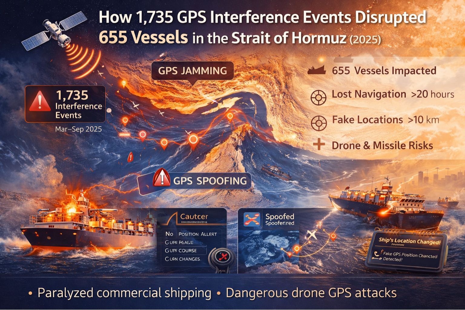
This isn't some hypothetical scenario; it's right there in the operational logs. 1,735 separate GPS jamming and spoofing incidents directly messed with the navigation and tracking for 655 commercial ships moving through one of the world's most critical chokepoints. The disruption wasn't a simple blackout—it was this cascade of signal degradation, position drift, and corrupted AIS data. Crews had to fall back on manual celestial navigation and radar plotting, which left fleet operations centers back on land with a massive compliance and safety blind spot while they tried to keep tabs on their assets.
What GPS Interference Means for Live Fleet Tracking
For fleet tracking, GPS interference basically means your map is feeding you lies. You could see a vessel holding a steady course at 12 knots, while in reality it's drifting or making an emergency turn. We've reviewed logs where a ship's reported position jumped 5 nautical miles between 30-second polls. That triggers false geofence alarms and idle alerts, all while hiding an actual deviation from its planned route. The real failure isn't losing the signal—it's getting believable, but completely false, data that your automated systems just accept as fact.
The Reality of Operational Scale and Spoofing
At the scale of what happened in Hormuz, the problem stops being a technical glitch and becomes a total workflow collapse. A dispatcher watching 50 vessels can't possibly manually verify every weird position shift. Automated ETA predictions turn useless. Safety alerts, like proximity warnings, start flooding in based on ghost ships or phantom positions. What people often miss is the network effect: spoofing one vessel's signal can corrupt the collision-avoidance data for every other ship nearby that's relying on AIS broadcasts, since AIS often uses GPS as its position source.
The Critical Mistake in Assuming Redundancy Works
Probably the most dangerous assumption is thinking your multi-constellation GNSS receiver—you know, GPS, GLONASS, Galileo—makes you immune. The sophisticated spoofing attacks we're seeing now often broadcast false signals across all frequencies and constellations at once. They fool the receiver into locking onto the stronger, malicious signal. So the failure pattern emerges when operations teams see a "strong" GPS lock with multiple satellite connections and trust it completely, not realizing the entire constellation data set is fabricated.
Decision Help: When to Tune, Reconfigure, or Redesign
So you're left with a choice. You can *tune* things by adjusting alert thresholds to ignore sudden, huge position jumps, but that risks masking a real emergency. You can *reconfigure* by adding layers like inertial measurement units (IMUs) for dead reckoning, but the drift just accumulates over time. The line where these internal fixes fail is when the interference is persistent, targeted, and sophisticated enough to spoof multi-band GNSS *and* corrupt your secondary systems. That's when you have to *redesign* the whole tracking architecture to include non-GNSS position verification, something like terrestrial RF fingerprinting or scheduled position cross-checks via satellite comms. This is the kind of problem where a platform like gps controller can help, by integrating disparate data sources to automatically flag these inconsistencies.
FAQ
Question: What does GPS jamming look like on a fleet management dashboard?
Answer: Usually, it shows up as a complete loss of position. The asset icon just freezes or vanishes. You'll get "GPS Signal Lost" alerts, which is alarming, but at least it's a clear failure state that forces someone to step in and look at it manually.
Question: How is spoofing more dangerous than jamming for compliance?
Answer: Spoofing gives you false data that looks perfectly plausible. So the vessel appears to be right on course. You can end up with a flawless, compliant-looking log while the ship is actually in a restricted zone or way off-course, creating undetected violations and a huge audit risk.
Question: Can't ships just use radar and paper charts if GPS fails?
Answer: For basic point-A-to-point-B navigation, sure, they can. But for everything fleet tracking is about—compliance, automated reporting, performance monitoring—that digital tether is severed. All the automated reporting, geofence alerts, and ETA calculations stop. You're forced into a full manual backup mode that simply doesn't work for managing a large fleet.
Question: What's the final decision point for upgrading my tracking system?
Answer: It's when the cost of *not* knowing your true position—from safety fines, operational waste, and compliance penalties—starts to exceed the cost of putting in a resilient, multi-source verification system. If you're operating in high-risk zones like the Strait of Hormuz, honestly, you're probably already at that point.


Comments
Post a Comment