GPS tracker failure for drone fleet BVLOS operations
GPS tracker failure for drone fleet BVLOS operations
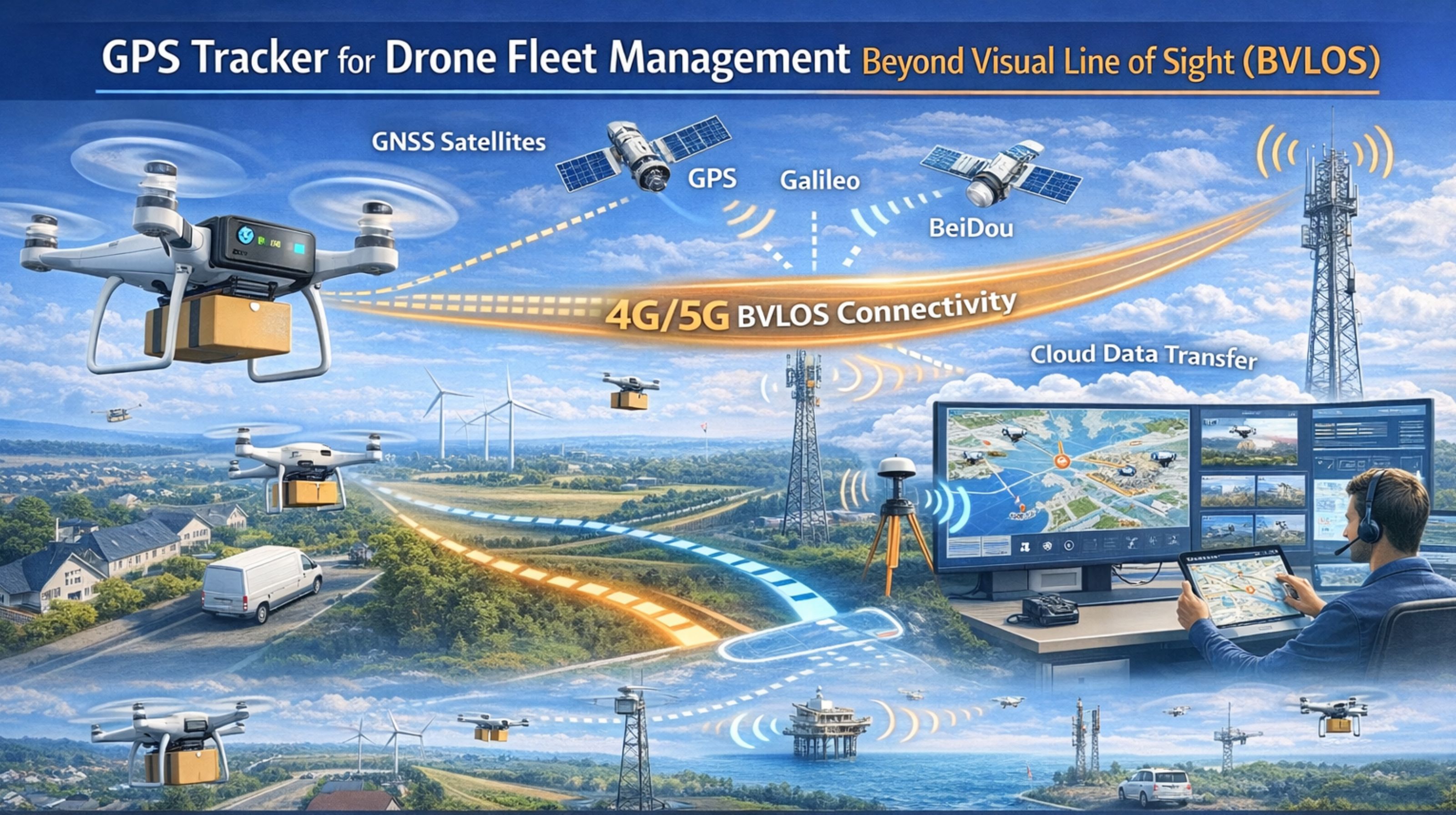
When your drone fleet operates beyond visual line of sight, a GPS tracker failure isn't just a lost signal—it's an immediate regulatory and asset risk. Honestly, the gap between a dashboard blip and a real-world incident is measured in seconds, not minutes. In my experience, the wrong device choice practically guarantees this kind of failure.
What BVLOS tracking failure really means
In BVLOS operations, failure means losing the telemetry link that proves operational compliance. You're not just missing a location dot; you're losing altitude, battery state, and heading data all at once. That's the data ground control stations rely on for safe corridor management. What happens next is an instant audit mismatch, where your logged flight path doesn't match the regulator's real-time oversight requirements.
The reality under real BVLOS scale and load
At scale, the failure isn't random—it's systematic. Drones switching between cellular and satellite backhaul for real-time tracking introduce jitter that corrupts timestamp sequences. We've seen fleets where 15% of flights show a 45-second reporting delay upon entering a valley, which basically makes geofence alerts useless for airspace incursion. The load isn't really on the GPS chip itself, but on the device's power management and data compression under that constant transmission strain.
Common mistakes that escalate BVLOS risk
The biggest misunderstanding? Treating drone tracking like vehicle tracking. Drones need sub-second reporting intervals and attitude data that most fleet GPS devices just don't capture. Teams often try to fix this with software, not realizing the hardware lacks the gyroscopic and barometric sensors needed for true BVLOS situational awareness. That leads to a false sense of security, and then inevitable compliance write-ups during an audit.
Decision boundary: when to replace your tracking hardware
Here's the boundary: if your current trackers can't maintain a sub-5-second reporting interval with 99.9% reliability across your entire operational area, you have a hardware limitation, not a configuration issue. Internal fixes stop working when you need dual-band GNSS support for urban canyons or integrated satcom for total cellular blackout zones. At that point, a redesign around a purpose-built gps controller for aviation telemetry is really the only path to compliant scale.
FAQ
q What is the most critical data point for BVLOS GPS tracking?
a It's not just latitude/longitude; it's the timestamp integrity and transmission latency. Regulators need proof of continuous, timely tracking. Honestly, a delay in reporting an altitude change is a major compliance failure.
q Can I use a standard vehicle tracker on a delivery drone?
a No, the risk is too high. Vehicle trackers prioritize battery life over frequency, often reporting every minute. Drones move faster and change altitude rapidly—they need updates every 2-3 seconds to maintain safe operational awareness.
q How does cellular coverage affect BVLOS tracking reliability?
a It creates predictable blackout corridors. If your flight path crosses areas with known weak signal, the tracker has to buffer and transmit data in bursts. That can overwhelm the system and cause data loss or sequence errors the moment it reconnects.
q When is it too late to fix tracking with software updates?
a When missed reports create gaps in your certified flight log. If post-flight reconciliation via custom reports consistently shows data loss in specific phases of flight, the sensor suite itself is inadequate. You have to remember: software cannot add sensors that aren't there.


Comments
Post a Comment