GPS Jamming Attack Cripples Fleet Navigation and Triggers Compliance Alerts
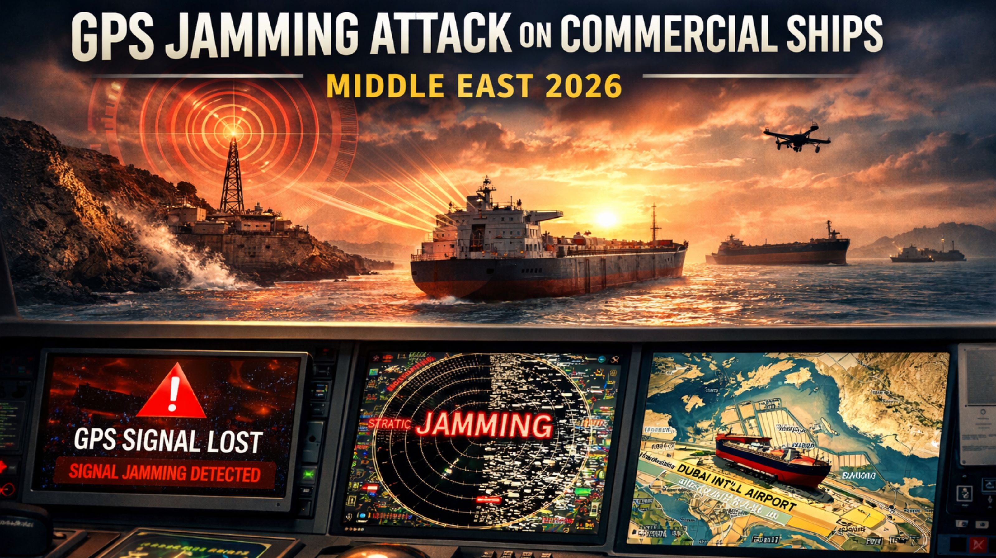
GPS Jamming Attack Cripples Fleet Navigation and Triggers Compliance Alerts
So a GPS jamming attack on commercial ships... it's not just a lost signal. It becomes this cascading failure of navigation, automated reporting, and regulatory compliance that basically leaves vessels blind in high-traffic corridors. What fleet managers actually face is a flood of delayed position alerts, incorrect geofence triggers, and a total loss of real-time situational awareness. That forces a manual fallback, and honestly, most modern bridge systems just aren't built to handle that efficiently.
What GPS Jamming Means for Live Commercial Fleet Tracking
In a live maritime context, jamming is tricky. It doesn't just show "no signal." It can create this dangerous illusion that everything's stable. Your real-time vehicle tracking dashboard might freeze a vessel's icon in a spot that looks plausible, while the ship itself drifts miles off course. That disconnect can last until someone gives a manual report or a secondary system like AIS corrects it. This signal loss directly breaks the chain of custody for high-value cargo, creating immediate audit discrepancies between what the GPS logged and what actually happened.
The Reality Under Attack: Scale, Load, and Cascading Failures
When jamming hits a regional chokepoint—think the Strait of Hormuz—the problem scales catastrophically. Dozens of vessels from your fleet can drop off the map all at once. That overloads dispatch teams with manual check-in requests and paralyzes route optimization engines that need continuous data feeds. The less obvious failure is data corruption: jamming can cause devices to spit out garbage coordinates or just repeat the last-known position. That bad data gets sucked into analytics and fuel reports, creating a cleanup nightmare that lingers long after the signal comes back.
Common Mistakes and Escalating Risks During Signal Loss
The most dangerous assumption is treating jamming like it's just a temporary "bad signal." Teams often waste critical minutes cycling device power or waiting for an auto-reconnect, instead of immediately switching to contingency protocols. This misunderstanding escalates risk because modern geofencing alerts and automated logs fail silently—the system doesn't generate a jamming alert, so it looks functional while it's actually giving you dangerously false information. That's where the compliance gap opens up: without a verified, time-stamped record of the outage and manual position updates, proving due diligence to regulators becomes nearly impossible.
Decision Help: When to Redesign Your Navigation Resilience
The line for internal fixes is pretty clear: if your response plan is basically "wait for GPS to come back," you need to redesign. Effective resilience needs a decision layer that can automatically switch position sourcing to inertial navigation, celestial fixes, or terrestrial systems the moment it detects jamming signatures. It also needs a gps controller platform that can fuse these multi-source inputs into a single, auditable track. The choice is between continuous vulnerability and investing in a system that treats GNSS as just one fallible source among many—not the sole truth.
FAQ
q How can I tell if my ship is being jammed versus just having a bad GPS signal?
a Jamming usually causes a complete, simultaneous loss of all GNSS constellations—GPS, GLONASS, Galileo—and you'll see a rapid drop in the signal-to-noise ratio in the raw device diagnostics. A bad signal might just weaken one constellation. Also, look for a fleet-wide pattern in a specific geographic area; that's a big clue.
q What is the biggest compliance risk after a jamming attack?
a It's the inability to produce an unbroken, verifiable position log for safety and customs audits. If your system only records GPS-derived points, you're left with a gap. You have to fill it with manually attested positions, and that process is just ripe for error and extra scrutiny.
q Can my current fleet tracking software handle multi-source positioning?
a Most standard platforms can't. They're designed to take a single GNSS feed. Handling jamming requires software that can accept and weigh inputs from secondary sources like LORAN, eLoran, or onboard inertial systems. That's a core function of specialized maritime resilience platforms.
q When is it time to replace our navigation tracking system entirely?
a Honestly, when the cost of a single incident—from delayed cargo and missed port windows to compliance fines—exceeds the investment in a resilient system. If you operate in high-risk zones, waiting for an attack to force your hand is the most expensive strategy. A robust gps controller framework should be your baseline, not an upgrade you consider later.


Comments
Post a Comment