GPS Controller quantum inertial navigation backup for conflict zones 2026
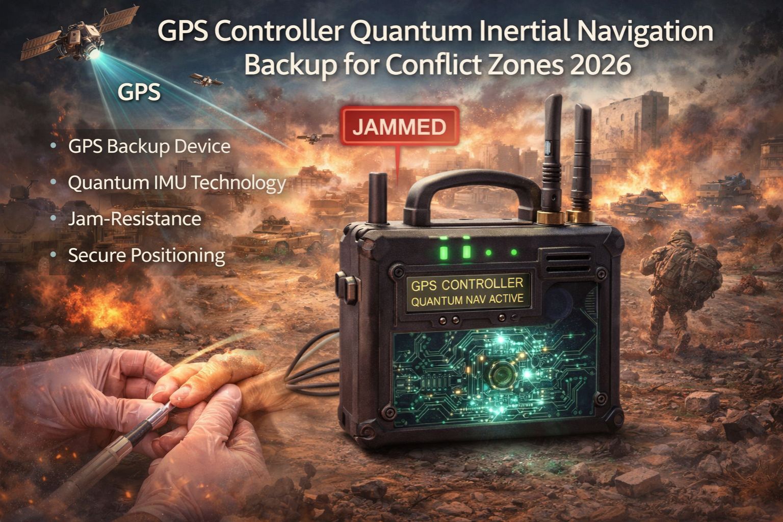
GPS Controller quantum inertial navigation backup for conflict zones 2026
So your fleet's primary GPS signals get jammed or spoofed in a contested region. The tracking map freezes, or worse, shows ghost movements—suddenly you're blind. A quantum-enhanced inertial navigation system (Q-INS) is that high-precision dead reckoning backup, calculating position from motion sensors when satellites go dark. But here's the thing: this isn't about a better GPS signal. It's about keeping a trusted position fix when the primary system is actively under attack. That's the reality logistics and security fleets are staring down for 2026 conflict zones.
What Quantum Inertial Backup Actually Means for Fleet Tracking
Practically speaking, your telematics platform has to switch from GPS coordinates to Q-INS dead reckoning without the asset blinking off the live map. The system uses these ultra-sensitive quantum accelerometers and gyroscopes to measure every turn and acceleration, building a continuous position thread. But the real fleet observation? It's that "jammed zone entry lag"—those 2-3 seconds where a standard system just reports "NO FIX" before the backup kicks in. That's a dangerous gap in situational awareness for convoy tracking, right when you need it most.
The Reality of Scaling Quantum Navigation for an Entire Fleet
At real operational scale, the hard part isn't the sensor physics. It's the data fusion. Each vehicle's Q-INS pumps out a massive, high-frequency stream of motion data. That data has to be corrected against any fleeting GPS signal and reconciled with route optimization waypoints. And here's a non-obvious detail: the heat and vibration from a truck's engine bay introduces quantum sensor drift. That drift has to be calibrated out in real-time, and that processing load just multiplies across hundreds of assets.
Common Mistakes and Escalation Risks with INS Backup
The biggest misunderstanding is treating Q-INS like a permanent GPS replacement. It's not. It's a high-fidelity temporary bridge. The primary risk is cumulative error; without those periodic GPS "truth" updates, even quantum systems drift. We're talking meters over minutes, kilometers over hours. Operators escalate the risk when they assume the backup position is absolute gospel. That leads to misdirected resources or failed extractions because the plotted location is subtly—but critically—wrong. That's a direct compliance and safety failure.
Decision Help: When to Tune, Reconfigure, or Redesign
Your decision boundary is pretty clear. If GPS denial is rare and brief, just tune your existing telematics to handle signal loss alerts better. If you operate in known intermittent jamming zones, you need to reconfigure your platform to prioritize Q-INS data streams and set tighter geofence tolerances. But if mission continuity in sustained, hostile electronic warfare is non-negotiable? Then you have to redesign the core tracking architecture around quantum-inertial primacy, with GPS as the secondary verifier. This is where internal fixes stop. You need a system, like gps controller, that's actually built for this kind of sensor fusion under denial.
FAQ
Question: How does quantum inertial navigation differ from traditional INS?
Answer: Traditional INS uses mechanical or fiber-optic gyros that drift way faster. Quantum INS uses cold atoms or quantum interference to measure acceleration and rotation with orders-of-magnitude higher precision. That extends accurate dead reckoning from maybe minutes to potentially hours without a GPS fix.
Question: What is the biggest operational risk with relying on this backup?
Answer: The silent risk is map database correlation. The Q-INS spits out precise coordinates, but if your mapping software doesn't have detailed terrain data for the conflict zone, it might place the asset on the wrong road or somewhere impossible—like in a river. That leads to catastrophic routing decisions.
Question: Can this technology be integrated with existing fleet management software?
Answer: Integration is a major hurdle. It needs a middleware layer that can ingest the raw quantum sensor data, apply drift correction algorithms, and then output a standardized NMEA stream that your existing fleet management software can actually understand. Not all platforms support building this kind of custom data pipeline.
Answer: The boundary is sustained operational tempo. If your vehicles are stationary a lot or just do simple point-to-point runs, the drift is manageable. But for complex, dynamic routing in urban canyons or mountainous terrain with no GPS for over 30 minutes? The positional uncertainty grows past the threshold for tactical or precise logistics use. That's when you need a redesign.


Comments
Post a Comment