GPS Controller for sanctions compliant shipping route monitoring 2026
GPS Controller for sanctions compliant shipping route monitoring 2026
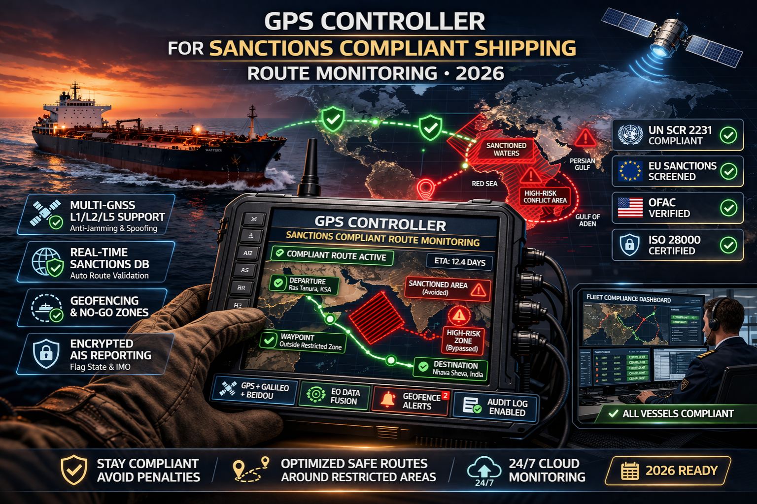
In 2026, sanctions compliant shipping isn't just about avoiding certain ports. Honestly, it's about proving your vessel never even entered a restricted polygon of ocean. A single delayed position update can create an unverifiable gap in your audit trail, just like that. This is where a dedicated GPS controller shifts from a nice-to-have to a non-negotiable part of your compliance stack. It's the thing that manages the raw GNSS data and telemetry before that data becomes a real liability in a regulatory report.
What Sanctions Compliance Monitoring Really Means Now
Modern sanctions enforcement? It relies on automated flagging systems that cross-reference vessel positions with dynamic exclusion zones—and those zones can change daily. So compliance monitoring means your system has to timestamp and log every position with cryptographic integrity. It's not just about showing a dot on a map later. We've seen vessels get flagged because their reported GPS data showed improbable speeds between points, which suggests missed pings or, worse, manipulated logs. That's a direct failure of the telemetry controller layer to maintain a clean, tamper-evident stream.
The Reality of Scale and Signal Gaps at Sea
Under real operational conditions, satellite signal loss happens. It happens in certain corridors or during severe weather, and it creates data blackouts. A basic tracker might just interpolate a route to make it look smooth. But a sanctions-compliant system has to log the *loss of signal* itself as a specific event and hold the last verified coordinate—it cannot guess. The controller has to manage the fallback to secondary positioning systems and document that switch. Because a simple gap filled with assumed data isn't just messy; it's a compliance breach waiting for an auditor's query. It's something we see consistently in post-violation reports.
Common Mistake: Treating Alerts as a Workflow
Here's the critical risk: assuming a geofence alert is enough. If your system only fires an alert when a vessel *enters* a restricted zone, you've already failed. The real compliance requirement is prevention. The controller has to be configured for *pre-entry* alerts, calculated from course and speed, to trigger a captain acknowledgment and a potential course correction *before* the boundary is breached. Relying on post-breach alerts is a fundamental misunderstanding. It turns what should be a monitoring tool into a simple violation ledger, and it's a costly pattern we've observed in fleets facing fines.
Decision Help: Reconfigure or Replace Your Telemetry Layer
Your decision boundary is pretty clear. If your current GPS data pipeline can't produce an immutable, timestamped log of all raw positions and signal states for the mandated 5-year audit period, then you need to reconfigure or replace the controlling layer. Look, tinkering with geofence settings in your fleet management software dashboard is insufficient if the underlying data itself lacks verifiable provenance. When your internal fixes mean you're manually reconciling spreadsheets after a trip, you've passed the boundary. The telemetry source itself—the GPS controller—has to be addressed to ensure native compliance.
FAQ
Question: What is the biggest compliance risk with GPS tracking for sanctions?
Answer: The biggest risk is unverifiable data gaps or interpolation. Auditors don't just check if you were in a zone; they check if you can *prove* you weren't, for every single second. A system that smooths over or guesses positions creates an indefensible audit trail, full stop.
Question: How often do sanctioned shipping zones change?
Answer: Dynamic sanctions zones can update daily, or even hourly, based on geopolitical events. Manual updates just aren't possible. Your system requires automated, reliable ingestion of these changing geofences, which is a core function of a robust monitoring platform.
Question: Can I use a standard fleet tracker for sanctions compliance?
Answer: Generally, no. Standard trackers prioritize location visibility and cost-efficiency. They aren't built for the data integrity and immutable logging you need for legal defense. The gap isn't in the mapping; it's in the forensic quality of the entire telemetry data chain.
Question: At what point do we need a dedicated compliance monitoring system?
Answer: The trigger is when the cost of a potential violation—think fines, seizure, reputational damage—outweighs the cost of a specialized system. If you're manually checking routes or can't instantly generate a verified voyage report for any vessel, you're already at risk. You need a system built for this purpose, where the GPS controller ensures data credibility right from the source.


Comments
Post a Comment