GPS Controller for oil tanker fleet tracking under electronic warfare 2026
GPS Controller for oil tanker fleet tracking under electronic warfare 2026
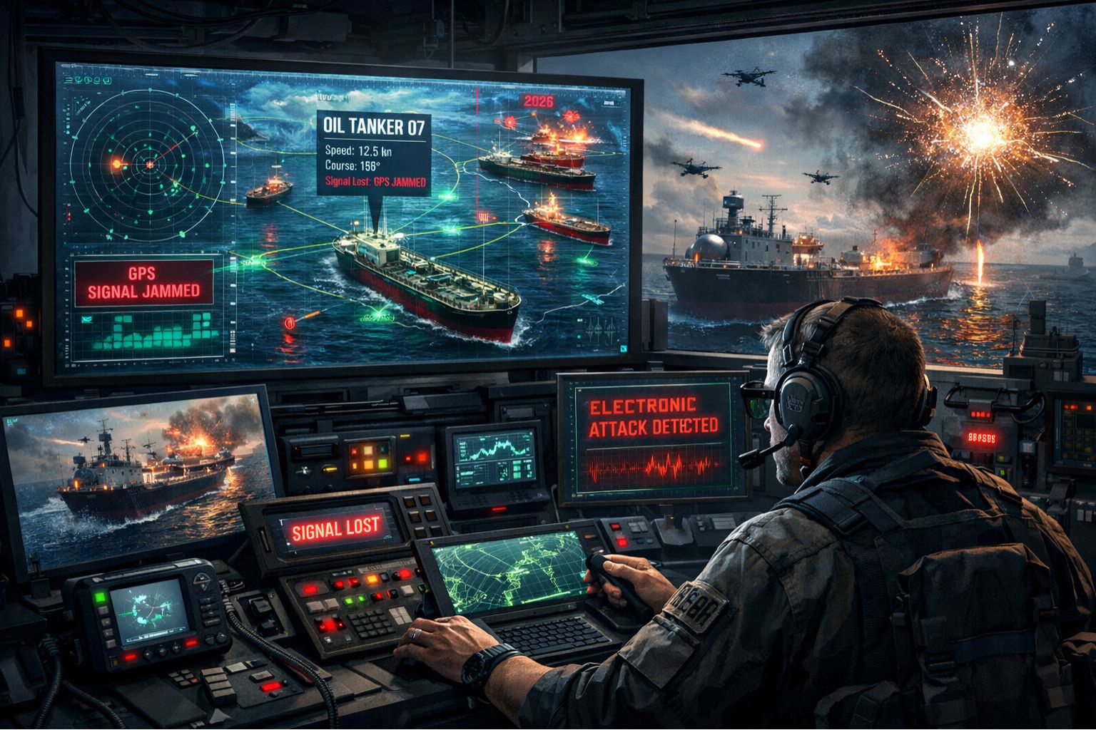
When your oil tanker fleet's GPS tracking starts reporting vessels 20 nautical miles off course, you're not looking at a simple signal delay—you're likely experiencing targeted GPS jamming or sophisticated spoofing. It's a growing electronic warfare threat that just makes standard telemetry useless, and it creates massive compliance and safety gaps that are hard to close.
What GPS Signal Degradation Really Means for Tanker Operations
For a tanker captain, a degraded GPS signal isn't just a lost dot on a map. It's the loss of critical Automated Identification System (AIS) integrity, where the vessel's reported position to coastal authorities and other ships becomes a kind of fiction. That creates immediate collision risks, obviously, but it also violates International Maritime Organization (IMO) regulations for real-time positional reporting. So the problem compounds instantly.
The Reality of Fleet-Wide Spoofing at Scale
Under real operational pressure, a single spoofing event can cascade in ways you might not expect. We've seen scenarios where a tanker near a conflict zone broadcasts a spoofed position, and that causes port authorities to question the legitimacy of the entire fleet's historical track data. It can trigger audits that scrutinize months of voyage records for compliance discrepancies you can't easily explain after the fact.
The Critical Mistake: Assuming Hardware Is the Only Fix
The most common and costly misunderstanding is believing that upgrading the GPS antenna on each vessel solves the electronic warfare problem. It fails because spoofing attacks inject false data that appears perfectly valid to the receiver. The real failure point is in the telemetry pipeline—the part that doesn't cross-reference GNSS data with inertial navigation systems or terrestrial RF signals to detect anomalies before they corrupt the entire fleet dashboard. You're fixing the wrong layer.
Your Decision: Reconfigure the Telemetry or Redesign the Stack
You face a clear choice here: reconfigure your existing system to incorporate multi-source verification (like GLONASS or Galileo alongside GPS and dead reckoning), or redesign the entire data ingestion stack to treat every positional feed as untrusted until validated. The boundary is crossed when spoofing events cause route deviations exceeding your safety margin. If your tankers are drifting outside predefined corridors, internal tweaks are insufficient and a fundamentally new monitoring approach is required. That's the scenario where a robust gps controller strategy becomes non-negotiable.
FAQ
Question: How can I tell if my tanker's GPS is being jammed or just has a weak signal?
Answer: Jamming typically causes a complete loss of all GNSS signals—GPS, GLONASS, all of them—simultaneously. A weak signal might show intermittent drops. Spoofing is trickier to spot. Look for impossible vessel maneuvers, like instant jumps in position or speeds exceeding what the tanker could physically do.
Question: What are the compliance risks if my fleet's tracking data is falsified?
Answer: Falsified AIS data can lead to port state control detentions, fines for violating SOLAS (Safety of Life at Sea) regulations, and invalidated insurance claims if an incident occurs while positional reporting was compromised. The real headache is that your entire voyage log becomes suspect.
Question: Can't we just use satellite communications instead of GPS for tracking?
Answer: This is a common mix-up. Satellite comms, like VSAT, are for data transmission, not positioning. They still rely entirely on the vessel's GPS receiver for location data. So if that GPS receiver is spoofed, it will just send beautifully packaged, incorrect coordinates via any satellite or radio link you have.
Question: When should a fleet manager escalate from monitoring to active countermeasures?
Answer: Escalate when spoofing or jamming events move from rare anomalies to predictable patterns in high-risk zones. Or, more critically, when the positional error exceeds the safe maneuvering distance for your laden tankers. At that point, passive logging is a liability. You have to start evaluating active systems like direction-finding antennas or encrypted PNT (Positioning, Navigation, and Timing) services.


Comments
Post a Comment