GPS Controller for oil and gas remote site field crew tracking 2026
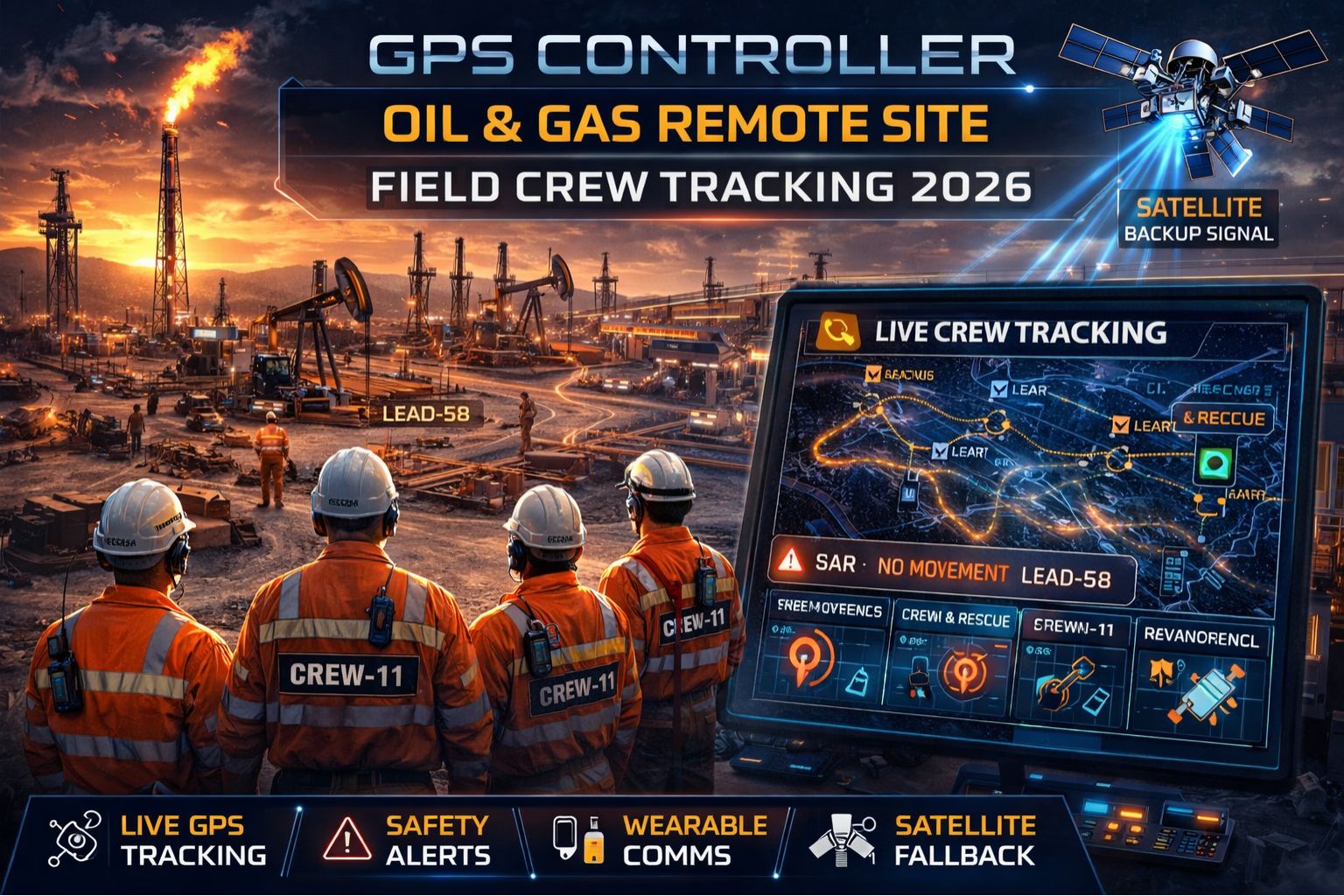
GPS Controller for oil and gas remote site field crew tracking 2026
When your GPS controller reports a field crew's location with a 90-second delay on a remote pad, you're not just looking at a data point—you're managing a safety and compliance liability that escalates with every minute of signal latency. Honestly, in 2026, the expectation for real-time visibility in oil and gas operations keeps clashing with the stubborn reality of satellite signal acquisition time and network backhaul in extreme environments. It's creating a critical gap between what your system promises and what your field teams actually experience on the ground.
What GPS Signal Delay Really Means for Remote Crew Safety
Clarity here isn't about a blinking dot on a map; it's about the actionable intelligence gap. A common misunderstanding is that a delayed location is just an outdated coordinate. But the real failure is in the dependent workflows. Think about a geofence alert for a hazardous zone that triggers *after* the crew has already entered it, or a muster check during an emergency that shows personnel in the wrong location because their last ping was at a wellhead 300 meters away. This isn't a simple display error; it's a fundamental breakdown in the situational awareness layer that your safety protocols are built upon.
The Reality of Tracking at Scale in 2026's Remote Operations
Under real operational scale, the issue just compounds. You might have 50 crews across a shale play, each with multiple assets. The non-obvious detail—the one that gets missed in demos—is the device's power-saving "sleep" cycle. It can extend the time between position fixes to conserve battery in areas with no cellular coverage for data offload. So what looks like a stable tracking system in a test fails when 30 devices all wake up at once, struggle to acquire a GPS fix in a canyon, and then queue up to transmit their data over a single, saturated satellite backhaul link. The result is this cascading delay that makes "real-time tracking" feel like a misnomer.
The Critical Mistake: Assuming Modern Devices Solve Legacy Problems
The primary risk is assuming that newer, more sensitive GNSS chipsets just eliminate delay. While they do acquire signals faster in poor conditions, they don't solve the network transport problem at all. The failure pattern we keep seeing is operations teams investing in hardware upgrades but completely neglecting the data pipeline. The real boundary condition is the Iridium or VSAT link itself; when its bandwidth is already saturated with other telemetry data, GPS packets just get queued. No device firmware update can magically bypass this physical constraint. That leads directly to a false sense of security and chronic underinvestment in the actual IoT asset monitoring infrastructure you need.
Decision Help: When to Tune, Reconfigure, or Redesign Your Tracking
Your decision really hinges on the consistency of the delay. If it's sporadic and tied to specific geographic sites, you can probably tune reporting intervals and geofence sizes as a workaround. If delays are predictable—like during shift changes or specific times of day—you might reconfigure the communication protocol and data batching. However, if the delay is systemic, affecting your compliance logs and safety reporting daily, you've reached the boundary where internal fixes are just insufficient. This is the point for an architectural redesign, moving from a simple device-to-cloud model to a localized edge-processing system that can provide immediate local alerts even when the cloud link is delayed. In these complex scenarios, evaluating a dedicated GPS controller platform built for critical telemetry becomes a necessary step, not just an option.
FAQ
Question: How much GPS delay is normal for remote oil field tracking?
Answer: In ideal conditions with clear sky and good cellular coverage, near real-time (5-15 seconds) is achievable. But in remote areas relying on satellite backhaul, delays of 60-120 seconds are common, and intervals of 3-5 minutes can happen during network congestion or poor GPS visibility. Often, that's just unacceptable for active safety monitoring.
Question: Can delayed GPS data cause compliance failures for OSHA or other regulators?
Answer: Absolutely. If an audit requires timestamped location logs proving crew proximity to hazardous operations or mandatory rest periods, data that is consistently minutes behind real-time can be deemed insufficient or inaccurate, leading to violations. The log has to reflect the *known* position at the recorded time, not the *received* time. That distinction matters.
Question: Why does tracking work in some remote areas but fail in others?
Answer: Terrain is usually the dominant factor. A crew on a flat, open plain will have excellent GPS satellite visibility. Put the same device in a steep-sided drilling canyon or near large metallic structures, and it may suffer from multi-path error—where signals bounce around—or it might see fewer satellites. That requires more time just to compute a valid position fix before it can even attempt transmission.
Question: At what point should we consider replacing our entire field crew tracking system?
Answer: The decision to replace, not just patch, comes when the delay creates unacceptable safety risk, consistent compliance gaps, or when the cost of workarounds (like deploying additional communication repeaters) exceeds the cost of a new system. If your teams are routinely second-guessing the location data during critical operations, the system has failed its core function. At that point, a redesign focused on deterministic latency—often involving a specialized gps controller architecture—is necessary.


Comments
Post a Comment