GPS Controller for Kuwait oil refinery field crew tracking 2026
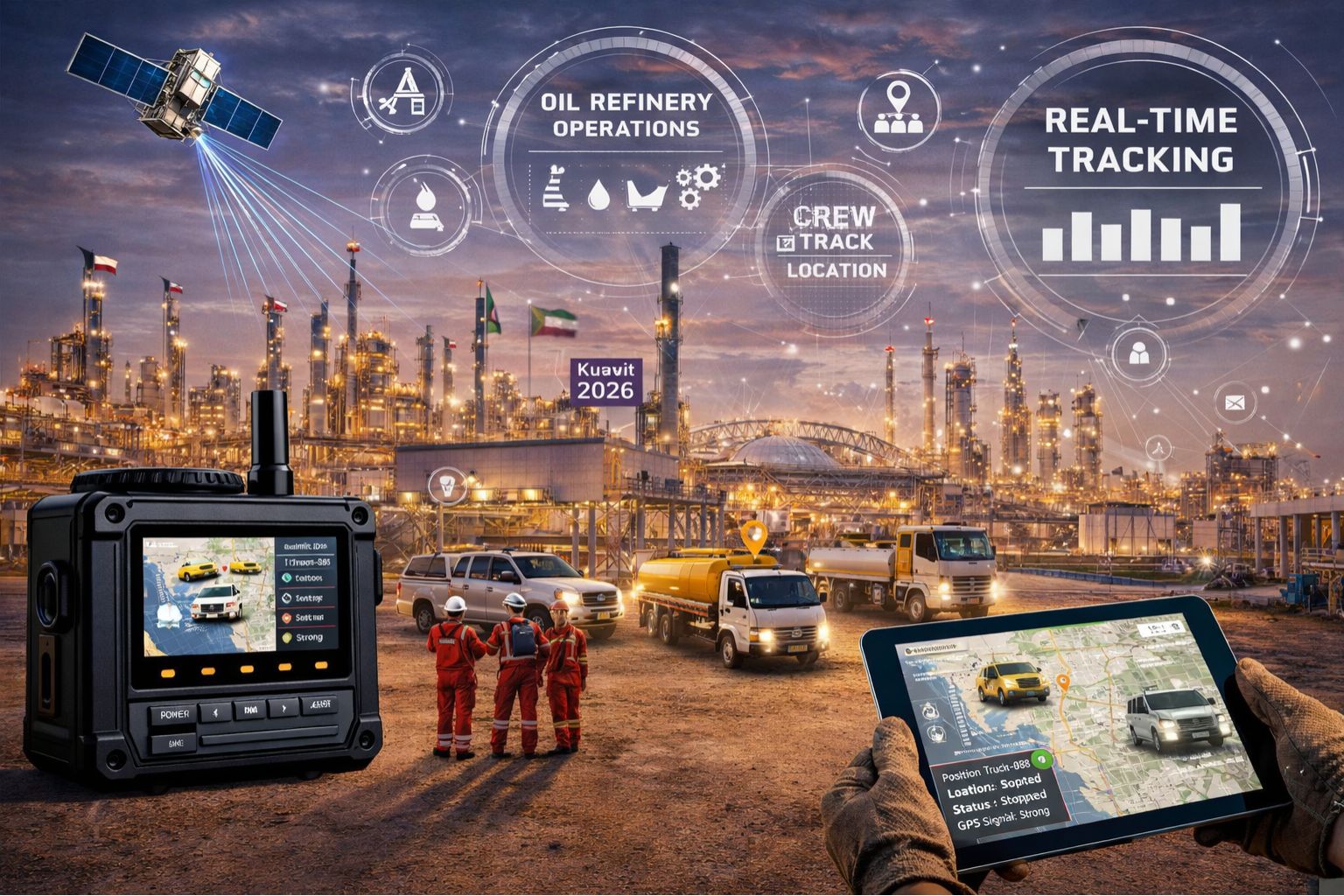
GPS Controller for Kuwait oil refinery field crew tracking 2026
When your field crew's GPS tracker loses signal for 45 minutes near a flare stack or sulfur recovery unit, you aren't just missing location dots on a map—you're creating a safety and compliance blind spot that refinery audits will flag. Honestly, the primary challenge for 2026 isn't just tracking, it's maintaining unbroken location continuity in Kuwait's harsh, remote desert refinery environments. That's where metal structures and vast distances disrupt standard signals, turning what looks like minor data gaps into major incident response delays.
What GPS crew tracking actually means in a refinery perimeter
In a refinery context, tracking isn't about watching a dot move; it's about maintaining a real-time chain of custody for personnel in hazardous zones. You'll often see this "geofence lag," where an alert for a crew entering a restricted area arrives 10 minutes after they've already been inside. Usually, that's due to signal reflection off piping and storage tanks. This isn't really a software delay—it's a physical signal propagation issue. The GPS radio just can't get a clean lock, so the device keeps reporting its last known position until it reacquires satellites. And in congested industrial areas, that process can fail entirely.
The reality of tracking 150 crew members across 15 square kilometers
At scale, small individual signal drops compound into a systemic operational risk. You might see 98% connectivity on your dashboard, but that missing 2% could be an entire maintenance team working in a confined space like a vessel turnaround. One non-obvious detail is battery drain: in poor signal areas, devices search constantly, which can kill a 24-hour battery in just 8 hours. That leaves crews untracked for the back half of their shift. Then there's the boundary condition of satellite geometry; during certain hours in Kuwait, the available satellites are low on the horizon. That makes fixes less accurate and more prone to complete loss behind large structures—a scenario where software tweaks achieve nothing.
Common mistakes that turn a tracking gap into a safety failure
The most dangerous misunderstanding is assuming a "GPS tracking solution" includes robust fallback positioning. A lot of teams see a live map and believe it's infallible, not realizing most devices lack secondary location methods like WiFi-scanning or dead reckoning for refinery interiors. This leads to escalation when a supervisor, seeing a stale location, assumes a device fault and dispatches a response team to the wrong coordinates, wasting critical emergency resources. The typical failure pattern is prioritizing device cost over network redundancy—opting for single-SIM trackers that drop offline when one carrier's tower is obstructed, instead of dual-SIM units that can switch networks to maintain the data connection for real-time vehicle tracking and crew telemetry.
When to tune, reconfigure, or replace your crew tracking setup
Here's your decision boundary: if crews are experiencing signal loss in specific, predictable zones (like near the coker unit), you can probably tune by adding external antennas or reconfiguring device reporting intervals. However, if you're seeing random, widespread drops across the site with no pattern, and your logs show repeated attempts to re-register on the network, then your underlying hardware or cellular topology is insufficient. At that point, internal fixes stop working; you have to redesign the deployment with a hybrid tracking system that uses GPS, short-range beacons, and time-synced manual check-ins. The choice to replace becomes urgent when the gap starts impacting mandatory hourly muster logs for safety compliance. That's the scenario where a platform like gps controller gets evaluated not for features, but for its proven continuity in similar industrial dead zones.
FAQ
Question: How accurate is GPS tracking inside a Kuwait oil refinery?
Answer: Accuracy degrades significantly near large metal structures and confined process areas. It often drops from 5 meters to 50+ meters or fails entirely, which makes zone-based alerts pretty unreliable without supplemental sensors.
Question: What causes the battery in crew trackers to die so fast?
Answer: In poor signal areas, the GPS chip and cellular modem expend maximum power searching for satellites and network towers. That can drain a battery 3x faster than in open terrain, which is a critical flaw for 12-hour shifts.
Question: Can we rely on geofence alerts for safety perimeter breaches?
Answer: Not solely. Geofence alerts triggered by GPS alone will have latency and might miss brief entries or exits. They really have to be part of a layered safety protocol that includes physical checkpoints and radio communication.
Question: At what point should we abandon our current tracking devices?
Answer: When signal loss becomes unpredictable and starts affecting compliance reporting. And when the cost of missed musters or emergency response delays clearly exceeds the investment in a more robust system designed for industrial IoT environments.


Comments
Post a Comment