GPS Controller for Jordan humanitarian aid convoy tracking 2026
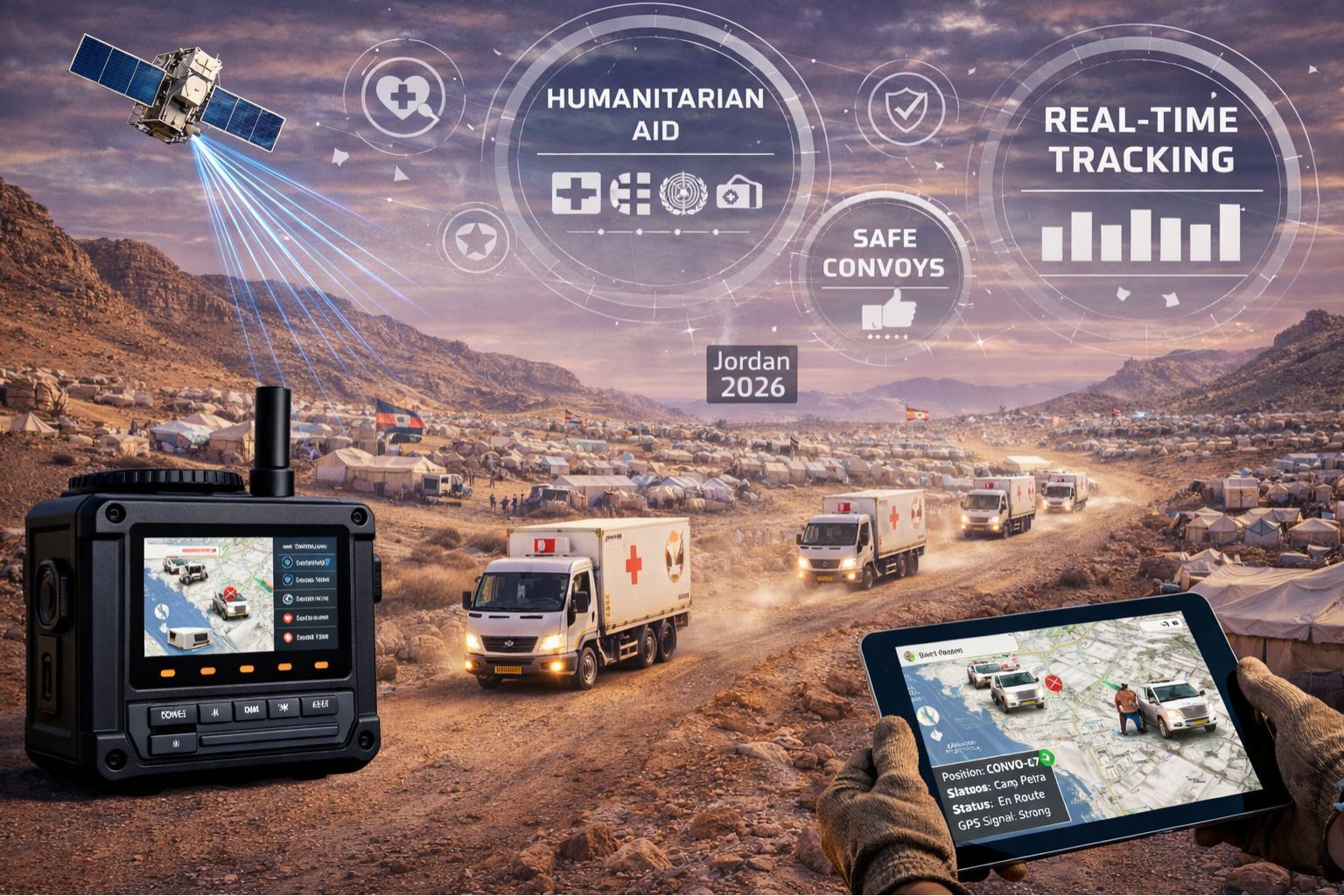
GPS Controller for Jordan humanitarian aid convoy tracking 2026
So your GPS controller shows a humanitarian convoy just sitting there at a Jordanian border crossing, but the drivers are already 40 kilometers into the desert corridor. That's not a map glitch—it's a critical signal delay breaking the chain of custody for vital aid. This latency, which can be 5-15 minutes out in those remote transit zones, opens up a dangerous gap between where the trucks actually are and what your telematics dashboard shows. It turns what should be real-time vehicle tracking into a historical log, and that's a problem when every minute matters for perishable supplies and security.
What GPS Signal Delay Means for Aid Convoy Visibility
Forget just a "delay"—think of it as a telemetry blackout period. The GPS controller is polling location data, sure, but transmitting it relies on local cellular networks (like Zain or Orange Jordan). Coverage gets sparse fast outside Amman and the main Desert Highway. The device stores the data points, but they just sit there until the next tower handshake. That creates this tracking "bubble" where the convoy is essentially invisible. We've actually seen geofence alerts for "entry" into a distribution camp arrive a full 12 minutes after unloading started. That invalidates the whole arrival log for UNHCR or WFP audit compliance right there.
The 2026 Reality of Scaling Tracking Across Jordanian Corridors
When you scale up for real operations, the problem gets worse. Imagine tracking 50 trucks across three different corridors—maybe Mafraq to Azraq, Aqaba to the Dead Sea, the northern route to Syria. Each one has its own unique signal dead zones. So scaling isn't just about slapping more devices on trucks; it's about managing inconsistent data latency across the entire fleet. A lot of people make the mistake of blaming the GPS hardware itself. More often, the failure point is the controller's data transmission logic. It just doesn't adapt to Jordan's specific network layout, which can lead to these simultaneous data dumps that overwhelm everything when convoys briefly reconnect.
The Critical Mistake: Assuming Offline Mode is a Complete Solution
Here's a high-risk assumption: thinking a GPS tracker's "offline mode" with local storage is enough for aid compliance. It really isn't. Storage fills up. Timestamps can drift without a network sync. And the sheer volume of data points from, say, a 10-truck convoy can corrupt the whole file. Then when the device finally reconnects, the controller tries to backfill the entire journey. That often creates impossible routes that wreck your speed reports and idle time calculations—which directly impacts driver welfare and fuel accountability. This isn't just a data gap; it's a data integrity failure, and audits will catch it.
Decision Help: When to Tune, Reconfigure, or Redesign Tracking
You need a clear decision boundary. You can probably just *tune* things—adjust polling intervals and alert thresholds—if your delays are under 8 minutes and your corridors are predictable. But you'll need to *reconfigure* the whole telematics setup if blackouts exceed 10 minutes or start messing with mandatory reporting. That means integrating satellite comms as a backup and adjusting your geofence logic. A full *redesign* becomes necessary when the GPS controller platform itself can't handle asynchronous data streams from multiple convoys without painting a false picture of what's happening. That's the scenario where specialized humanitarian fleet management software with compliance logic baked right in becomes non-negotiable. You've crossed the line when your own internal fixes can't bridge the gap between the recorded position and the insight you need to actually dispatch the next convoy.
FAQ
Question: How long is a typical GPS delay for convoys on the Jordanian Desert Highway?
Answer: It really varies. You might see 3-5 minutes near major towns, but it can stretch to 15 minutes or more in the central desert, depending on the cellular carrier and any satellite help. The critical issue isn't the average delay, though—it's the maximum delay during a segment where security or delivery timing is absolutely critical.
Question: Can delayed GPS data cause problems with donor compliance reports?
Answer: Absolutely, yes. Auditors trace timestamps from geofence alerts all the way to unloading logs. A 12-minute discrepancy breaks the chain-of-custody document. That can put future funding at risk. The data doesn't just need to be stored; it has to be transmitted within a compliant timeframe.
Question: We use satellite messengers as backup. Why is our tracking still delayed?
Answer: That's a common mix-up. Satellite messengers are for emergency communications, not for continuous telemetry. Your GPS controller probably isn't even configured to use the sat device as a primary data pipe; it just defaults to cellular. So this is usually a system design gap, not a hardware failure.
Question: At what point should we stop trying to fix our current GPS tracker setup?
Answer: When the signal delay means your actionable alerts—for things like diversions or unexpected stoppages—arrive after the incident is already over. Or when your team spends more time reconciling location logs than actually managing the logistics. That's the threshold. That's when you need a platform-level solution, and a dedicated humanitarian gps controller stack becomes essential just to keep the mission running.


Comments
Post a Comment