GPS Controller for AIS dark zone vessel monitoring Middle East 2026
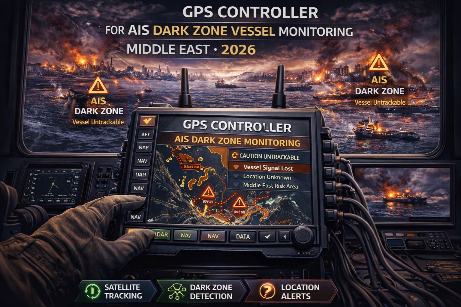
GPS Controller for AIS dark zone vessel monitoring Middle East 2026
When your vessel's AIS signal drops in a Middle Eastern dark zone, you're not just losing a blip on a map—you're creating a compliance and security blind spot that regulators and insurers will question. A GPS Controller platform bridges these gaps by fusing satellite positioning with predictive dead reckoning, but honestly, the 2026 challenge is integrating this data into something you can actually use for maritime domain awareness before a vessel drifts into a restricted zone or fails a port state control audit.
What AIS Dark Zone Monitoring Really Means for 2026
An AIS dark zone isn't merely a lack of signal; it's a period where mandated automatic identification system data is unavailable, forcing operators to rely on delayed or estimated positions. In the Strait of Hormuz or the Red Sea, this can mean a vessel's last known position is 30 minutes old and 5 nautical miles off its actual track. Modern systems use IoT asset monitoring principles to interpolate movement, but the real signal is the sudden stop of all telemetry. That often indicates intentional spoofing or jamming, not just poor coverage.
The Operational Reality of Middle Eastern Corridors at Scale
Managing a fleet through these corridors means contending with systematic signal denial. You'll start to see patterns: AIS drops predictably near certain coastal waypoints, while GNSS (GPS) signals show unusual drift. The non-obvious detail is that vessel speed and heading data from onboard sensors often remain available via satellite comms, but without a fused position, they're just numbers. The common misunderstanding? Treating this as a simple data gap rather than a coordinated obscuration effort. That leads to escalated security alerts for what is, at least initially, just a data latency issue.
The Critical Mistake in Dark Zone Response Plans
The failure pattern is assuming that once AIS and GPS resume, the tracking map will auto-correct. In reality, the system may plot two parallel tracks—the estimated dead-reckoning path and the actual resumed signal—creating confusion about which log is correct for compliance. Port authorities reviewing your records will see this discrepancy as a potential data manipulation attempt. The boundary condition where internal fixes stop working is when jamming is so persistent that your system's dead reckoning algorithm exceeds its confidence threshold. It defaults to a last-known position for hours, which basically renders your geofencing alerts useless.
Choosing Your 2026 Monitoring Architecture
Your decision is clear: tune, reconfigure, or replace. You can tune by adjusting report intervals and data fusion settings on your current platform. You reconfigure by integrating a secondary, independent positioning source like LEO satellite or terrestrial RF. You must redesign and replace when dark zone coverage exceeds 15% of a vessel's journey and your current provider cannot guarantee a unified, auditable track. This is the boundary where patchwork solutions fail, and a platform built for signal resilience, like gps controller, becomes an operational necessity rather than just a software upgrade.
FAQ
Question: What causes an AIS dark zone in the Middle East?
Answer: AIS dark zones are caused by a combination of geographic blockage, intentional jamming or spoofing by state or non-state actors, and sheer satellite coverage gaps. In 2026, the issue is less about technology failure and more about signal denial as a tactical reality in contested waters.
Question: How long can a vessel be 'dark' before it's a compliance problem?
Answer: There's no universal safe period. Port State Control under the IMO framework can scrutinize any gap in the continuous synopsis record. Gaps exceeding 15-30 minutes in high-risk areas will trigger immediate questions about the vessel's activities during the blackout period.
Question: Can GPS tracking work when AIS is down?
Answer: Sometimes, but not reliably. GPS (GNSS) is often targeted simultaneously. A robust monitoring controller doesn't rely on either alone; it uses vessel sensor data (gyro, log) to calculate a 'most probable position' and flags the period as estimated for audit transparency.
Answer: The final decision depends on your risk tolerance and trade route criticality. If dark zones are rare and short, tuning your existing system may suffice. If they are frequent and long, impacting security and compliance daily, you need a platform designed for persistent low-signal environments. That's where evaluating a dedicated controller becomes essential.


Comments
Post a Comment