GPS Controller dead reckoning backup for fleet in GPS denied zone 2026
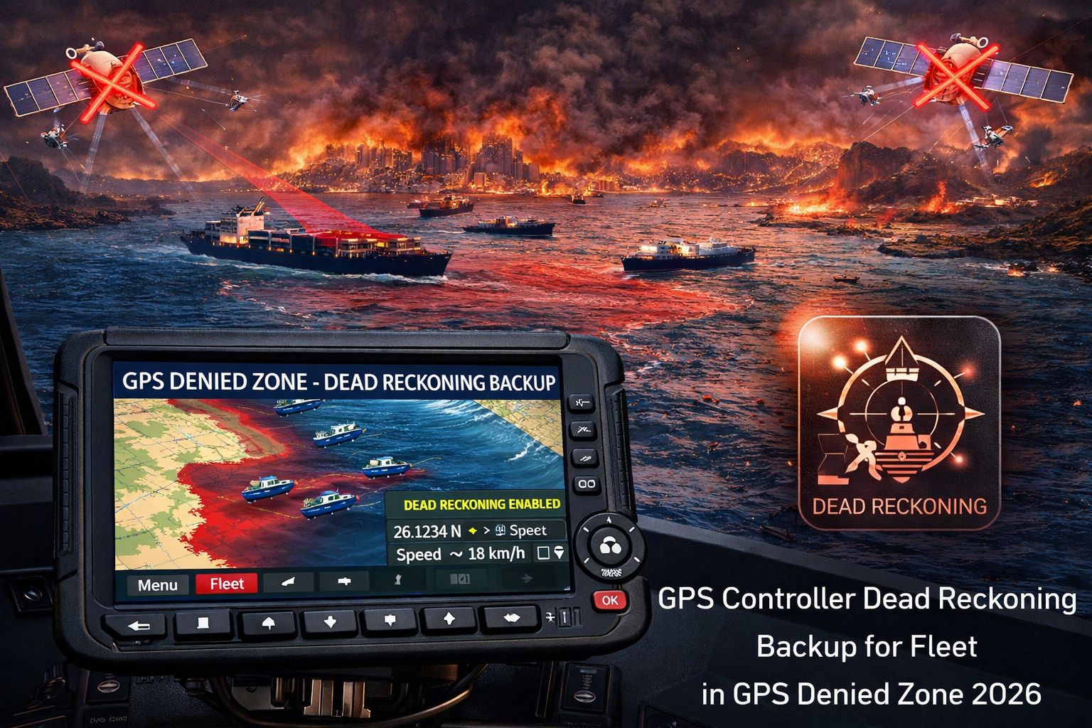
GPS Controller dead reckoning backup for fleet in GPS denied zone 2026
So your fleet heads into an urban canyon, or a tunnel, or a packed industrial yard in 2026, and just like that—the primary GPS signal drops. Your live map freezes. A GPS Controller with dead reckoning backup is supposed to bridge that gap. It uses the vehicle's own sensors and CAN bus data, things like wheel speed and steering angle, to guess where the vehicle is and keep that tracking line moving until satellites come back. But let's be clear: this isn't magic. It's a calculated drift. Error builds with every turn, every stop. It's a temporary bridge, and fleet managers really need to understand that "temporary" is the key word here.
What Dead Reckoning Actually Means for Your Fleet Map
In practice, dead reckoning means your asset icon just keeps going along the last known road at the last known speed. The system isn't actually "seeing" the road; it's making an educated guess. And here's a common, costly mistake: thinking this is a high-fidelity location fix. It's not. After just a few minutes in a long tunnel, the reported position can drift by hundreds of meters. You'll get geofence alerts firing for assets that never actually moved in or out of a zone. The real-world observation? You'll see a truck on your dashboard looking like it's driving straight through buildings or across fields. That kind of thing erodes a dispatcher's trust in the system, instantly.
The Reality of Scale and Cumulative Error in 2026 Operations
At scale, this problem gets worse. A single vehicle's drift might be something you can handle. But picture a fleet of 50 trucks making deliveries in a downtown core with constant signal blockage. Now you've got a cascade of positional ghosts. Compliance logs for hours-of-service or state-line crossings become shaky, because they're based on estimated data. Here's the non-obvious part: dead reckoning accuracy falls apart faster for vehicles that stop and turn a lot—which is exactly what urban delivery and service fleets do. The backup tech wasn't really designed for that stop-start reality, so the data gaps end up being bigger than you'd think.
The Critical Mistake: Assuming It's a Set-and-Forget Solution
The biggest risk is treating dead reckoning like a permanent fix for GPS-denied zones. Managers roll it out expecting seamless coverage, but then they find out the inertial sensors in standard telematics devices can get their calibration thrown off—maybe after a vehicle parks on a slope, or gets shaken up on a rough site. The boundary where it stops being useful is simple: time and distance. Every second without a true GPS signal adds more error. In a big industrial facility or port terminal where assets might operate for hours with no satellite view, the reported location becomes pure fiction. That makes any fleet management software decision based on that data fundamentally flawed.
Your 2026 Decision: Tune, Reconfigure, or Redesign the Workflow
So, what's your move? Your decision boundary is pretty clear. You can *tune* things: adjust geofence sizes, add alert delays to account for the drift. You can *reconfigure*: maybe integrate Bluetooth beacons in specific problem yards for a local signal boost. But if your core operations—think safety, billing, regulatory reporting—depend on pinpoint accuracy in these zones, then internal fixes probably won't cut it. You'll have to *redesign* the operational workflow itself, or look at hardware replacement with more advanced sensor fusion. This is where knowing the specifics of your GPS Controller platform really matters, because honestly, not all dead reckoning algorithms are created equal.
FAQ
Question: How accurate is dead reckoning when GPS fails?
Answer: It starts off okay, but the error builds—roughly 1-3% of the distance traveled without a GPS fix. So, a 5-minute drive through a tunnel at 60 km/h could mean your position is off by 150 to 300 meters by the time you come out the other side.
Question: Can dead reckoning maintain ELD compliance in a GPS dead zone?
Answer: No, it can't. Electronic Logging Device rules need reliable location recording. Dead reckoning gives you an estimate, not a verified position. If a GPS gap happens right when a driving status changes, that estimate might not hold up in a roadside inspection.
Question: What vehicle data does the system use for dead reckoning?
Answer: Mainly wheel speed sensors from the CAN bus to figure out distance, and a gyroscope/accelerometer (the IMU) to sense turns and direction. It doesn't use cameras or map data, which is exactly why it drifts off course.
Question: When should we stop relying on dead reckoning and seek a different solution?
Answer: The threshold is when you're making operational or safety calls based on the data. If you're dispatching another asset to a drifted location, or you need precise proof-of-location for customer billing, the inherent error just isn't acceptable. That's when you need to look at supplemental local positioning or a complete workflow redesign.


Comments
Post a Comment