GPS Controller anti jamming device for ships near Strait of Hormuz 2026
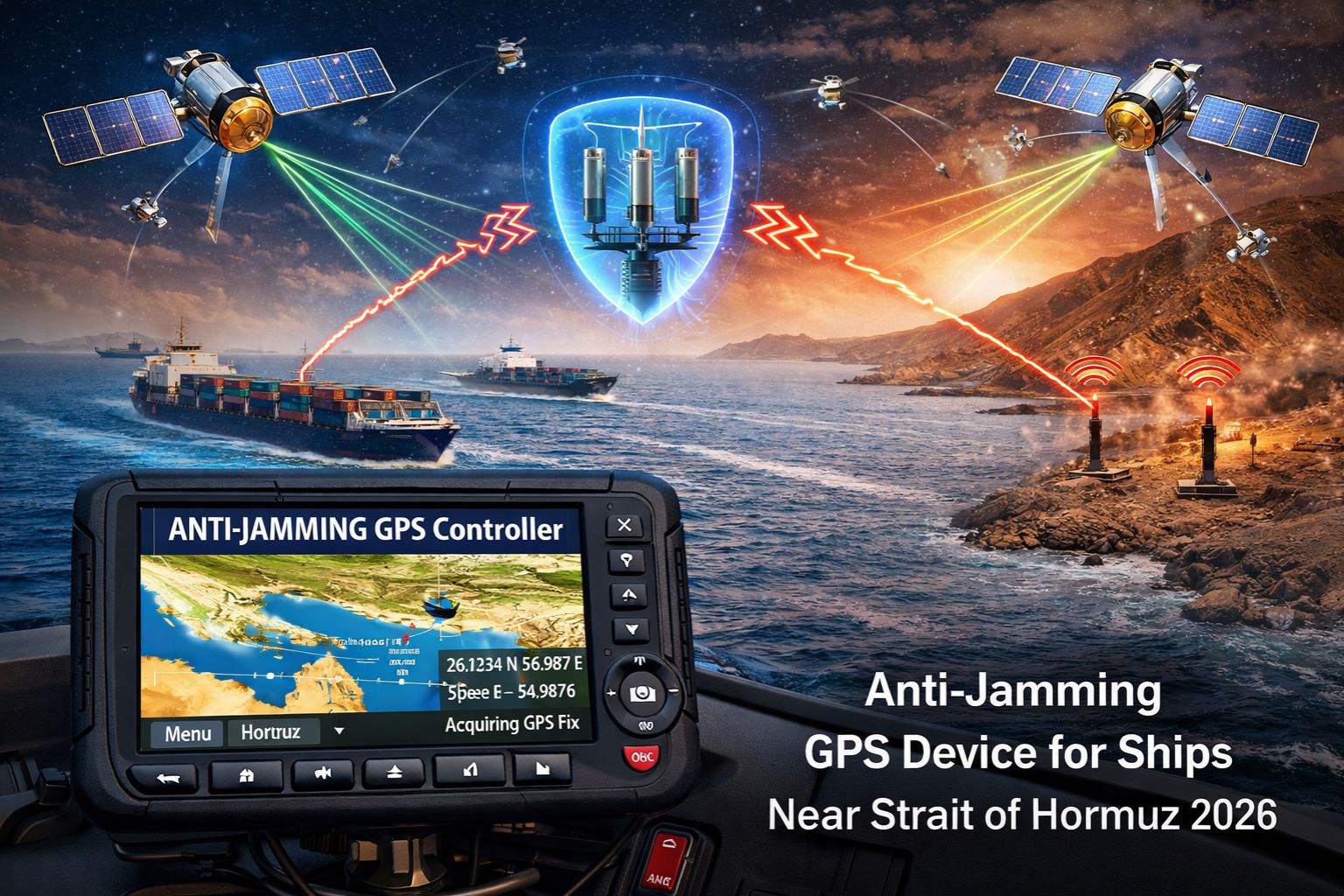
GPS Controller anti jamming device for ships near Strait of Hormuz 2026
For commercial vessels transiting the Strait of Hormuz, GPS jamming isn't some hypothetical threat—it's a daily operational reality. It corrupts position data, delays AIS reports, and creates dangerous blind spots for fleet controllers. The thing is, a standard GPS controller anti jamming device, the kind designed for general signal noise, often fails completely against the sophisticated, high-power military-grade jamming you find in this chokepoint. It just leaves your navigation and tracking systems wide open.
What Anti-Jamming Really Means in the Strait
Here, "anti-jamming" has to mean a device's ability to filter out deliberate interference and actually maintain a reliable position fix, not just give you a stronger signal. On the bridge, you'll see the symptom as a sudden, sustained drift in the plotted course on your real-time tracking display—sometimes it'll show the vessel miles inland, while the actual inertial systems struggle to keep up. The non-obvious detail, the one that gets people, is that a lot of commercial anti-jamming units are defeated by frequency-hopping jammers. They switch signals faster than the filter can even adapt.
The Reality of Scale and Continuous Attack
In real operational conditions, the issue isn't a single jamming event. It's a continuous, layered attack across multiple GPS frequencies (L1, L2, L5). What fleet managers notice is a cascade of failures: geofence alerts for the "safe corridor" fire hours late, automated position reports to charterers contain massive errors, and the historical track in your compliance logs shows impossible jumps. You hit the boundary condition when the jamming power simply overwhelms the receiver's front-end. At that point, any algorithmic filtering is useless—the device just goes dark.
The Critical Mistake: Assuming Any "Military" Tech Works
There's a common and costly misunderstanding here, equating "military-grade" with "effective in the Strait." A lot of these devices use outdated nulling techniques that create a single null toward a jamming source. But in the crowded, mountainous terrain around Hormuz, jamming signals reflect off landmasses. They arrive from multiple directions, which basically nullifies the null. The real escalation happens when a fleet invests in these units only to find their positional integrity—which is critical for territorial passage claims—is still compromised. That's how you end up in regulatory and insurance disputes.
Decision Help: Tune, Reconfigure, or Replace?
Your decision boundary is pretty clear. You can *tune* existing filters, but only if the jamming is sporadic and low-power. You'll likely need to *reconfigure* and integrate with multi-sensor navigation (like GLONASS, Galileo, inertial) if you're facing consistent, moderate jamming. However, for guaranteed operation in the Hormuz in 2026, you're going to need to *replace* the receiver core. You need a modern, controlled reception pattern antenna (CRPA) system that uses spatial filtering to physically block signals from hostile directions. Look, when your vessel's safety and contractual compliance depend on unbroken positioning, internal fixes just aren't enough. A hardware redesign focused on spatial anti-jamming is really the only path forward. That's the principle behind robust maritime gps controller resilience.
FAQ
Question: How can I tell if my ship is being jammed versus just having a weak GPS signal?
Answer: Jamming causes a total loss of all GPS satellites simultaneously on your tracker's status page. A weak signal usually shows a gradual drop of individual satellites. You might also see a constant, high carrier-to-noise-density (C/No) reading on the jamming indicator, if your device has one.
Question: What's the biggest compliance risk from GPS jamming in a regulated strait?
Answer: It's an inaccurate Automatic Identification System (AIS) track. Authorities use that log to verify you stayed in the designated transit corridor. Jamming-induced position jumps can make it look like you deviated into restricted waters, which can lead to fines or even detention.
Question: Can't we just rely on the ship's inertial navigation system (INS) when GPS fails?
Answer: An INS drifts over time—about 1 nautical mile per hour without GPS correction. For a prolonged transit through a narrow strait, that error accumulates. It gets to a dangerous level, making it an unreliable primary source for precise positioning and collision avoidance.
Question: Is there a specific type of anti-jamming device we should be looking for in 2026?
Answer: You should be looking for a multi-constellation (GPS, Galileo, BeiDou), multi-frequency receiver paired with a Controlled Reception Pattern Antenna (CRPA). The CRPA is the key part; it electronically steers antenna nulls toward jammers. And make sure it's certified for the specific high-power jamming profiles they've tested in the Persian Gulf region.


Comments
Post a Comment