Why Your Delivery Fleet Route Deviation Geofencing Keeps Failing
Why Your Delivery Fleet Route Deviation Geofencing Keeps Failing
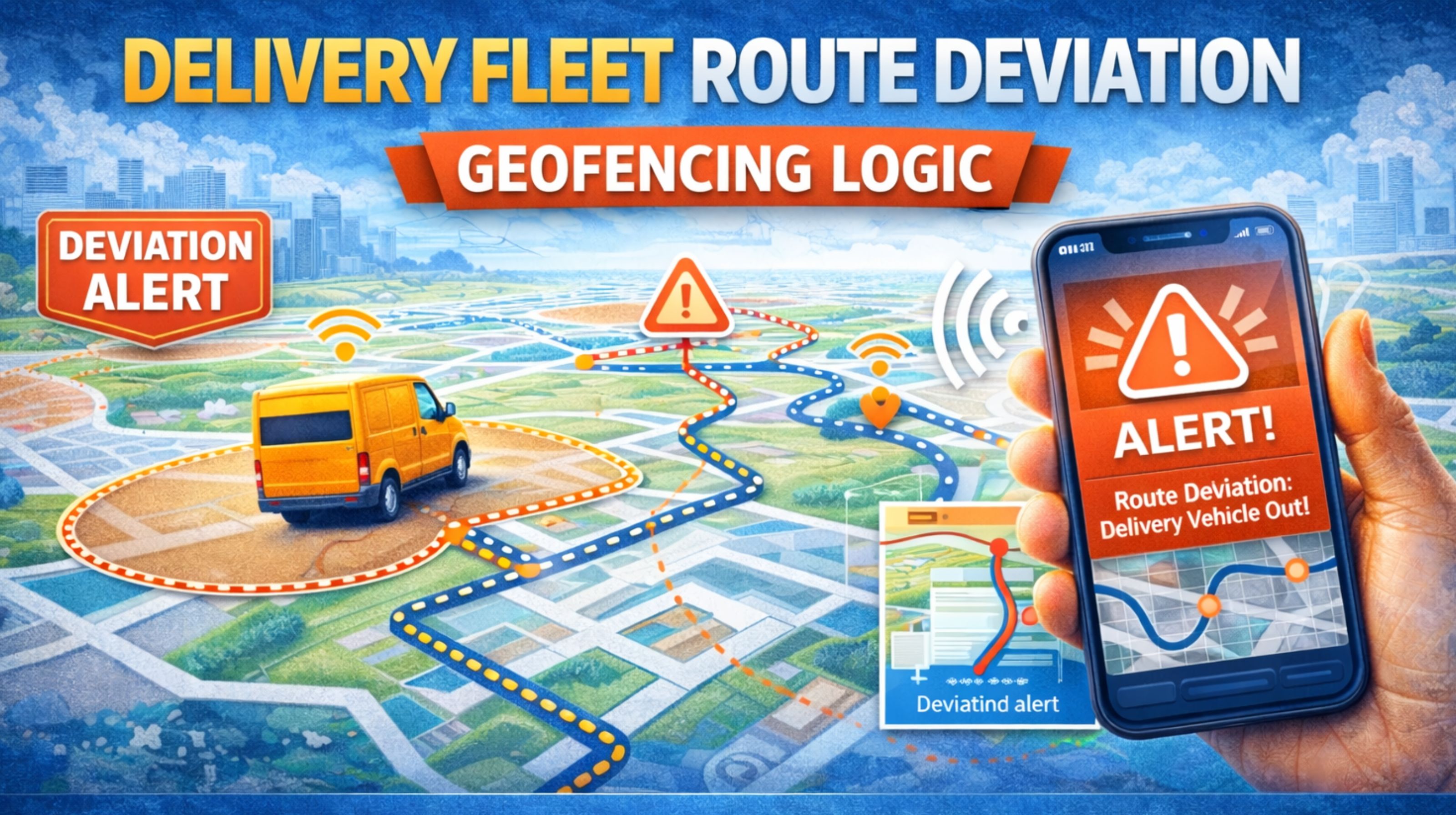
You set up geofences to get an alert when drivers go off-route, but you're probably drowning in false positives. It's frustrating. The problem usually isn't the tech itself, but a gap between how the logic interprets the GPS data and what's actually happening on the road.
What Route Deviation Geofencing Actually Means for Dispatchers
In practice, route deviation geofencing isn't a single fence around a route line. It's a dynamic corridor, often 100-500 meters wide, created around a sequence of planned geofences or GPS breadcrumbs. The system triggers an alert when a vehicle's GPS signal leaves this corridor for a specified duration, signaling an unscheduled stop or detour. This is a core feature of advanced Fleet Management Software designed for proactive oversight.
How It Behaves on Real City Streets and Highways
On the ground, GPS drift in urban canyons can falsely show a truck 50 meters off its path, triggering an alert while it's actually in the correct lane. A common real-world observation is delayed pings; a driver might take a quick, unauthorized detour through a parking lot and rejoin the route before the next data transmission, creating a blind spot in the tracking replay. The system only knows what the GPS hardware reports, which can have a 5-30 second latency.
The Costly Mistake of Setting Corridors Too Tight
The most frequent failure pattern is setting the geofence corridor width too narrow for the area. A 100-meter corridor on a highway works, but in a dense downtown grid with one-way streets, the same truck may legally need to circle a block, exceeding the boundary. This breeds alert fatigue, causing managers to ignore all notifications, including valid ones for fuel theft or unauthorized personal use. This misunderstanding directly leads to lost operational control.
Deciding If Your Fleet Needs This Logic or Something Else
Start by analyzing your false alerts: are they clustered in specific areas? If so, widen corridors there or use stop-based geofencing instead. For true route adherence, you need logic that factors in acceptable stop points and traffic rerouting. If you're managing complex multi-vehicle coordination, tuning these parameters requires a platform with granular alert controls. Companies like gps controller provide the depth of configuration needed to move from noisy alerts to actionable intelligence, integrating tools like Geofencing Alerts with Route Optimization data.
FAQ
What is a route deviation geofence?
It's a virtual corridor around a planned route that triggers an alert when a vehicle leaves it, indicating a potential unscheduled detour or stop.
Why do I get false deviation alerts in cities?
GPS signal bounce off buildings causes "urban canyon" drift, making the vehicle appear off-route. A narrow geofence corridor amplifies this problem.
How wide should the geofence corridor be?
It varies by environment. Start with 200-300 meters in urban areas and 100 meters on highways, then adjust based on your alert history.
Can it detect quick, unauthorized stops?
Only if the stop duration exceeds the system's "dwell time" threshold and occurs outside a designated stop geofence. Short stops between GPS pings may be missed.
What's the difference between route and boundary geofencing?
Route geofencing monitors movement along a path. Boundary geofencing alerts when a vehicle enters or exits a fixed area, like a construction site or forbidden zone.
Does heavy traffic cause false alerts?
It shouldn't if the vehicle is moving within the corridor. However, if traffic forces a detour outside the corridor, a well-tuned system will have a delay timer to filter this out.
How do I reduce alert fatigue for my dispatchers?
Implement alert delays (e.g., 2-minute trigger), widen corridors in problematic zones, and create prioritized alert tiers so only critical deviations create immediate notifications.
When is route deviation monitoring not the right tool?
When your drivers have significant route flexibility or make frequent ad-hoc stops. In these cases, focus on asset monitoring for idle time and destination arrival instead of strict path adherence.


Comments
Post a Comment